Interactive enroute map for navigation, weather, and airspace visualization. Access real-time flight planning tools, including route optimization and fuel calculations. View aircraft performance data and manage checklists.
Calculate takeoff, landing, climb, cruise, descent, and instrument procedure for Cessna 182 and select Cessna 210 models. Include emergency glide distance with wind adjustments, hold calculations, and risk analysis tools.
Connects to -Plane Desktop to display map tracking for simulated aircraft. Upgrade adds avionics panel, flight path display, and flight controller with feedback. Syncs with -Plane 10 or 11.
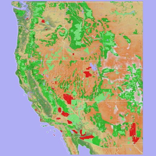
Navigate using a 3D topographic map of the USA and Hawaii. Access offline vector maps for navigation in vehicles or outdoors. Switch to online maps for global coverage with automatic caching. Explore locations with zoom and scroll features.
Set local or GMT times for alerts, wake-up, transportation, time, and flight departure. Generate countdown timers for each event. Include an optional animated Martini glass timer for compliance with legal beverage limits.
Navigate public transport in Central with detailed route planning and real-time GPS support. View interactive maps with high-resolution graphics and station indexes. Find transfer points and track station order on each line.
Navigate public transport with detailed and subway maps. Find routes offline without internet. Plan trips by viewing fastest paths and transfer points. Access a stations index for quick navigation.
This utility calculates average ISA temperature deviation for descent planning. It simplifies manual calculations, reduces workload, and minimizes potential errors for pilots using the FMC.
The app provides a route map for New York City's rail and subway system. It includes a route planner, station index, lines overview, and GPS support to find nearby stations.