
Gemma GPS
Patrick Tudor
Navigate with geodetic precision waypoints.
The app provides GPS waypoint navigation with geodetic precision. It supports six coordinate formats, compass navigation, and GPX file import/export.

Navigate with customizable designs
Display True North or Magnetic North directions. Show rose with customizable colors and designs. Accurately navigate globally with GPS support. Track movement and orientation during outdoor activities.
Showing 761–780 of 1,000 ranked alternatives.
Patrick Tudor
Navigate with geodetic precision waypoints.
The app provides GPS waypoint navigation with geodetic precision. It supports six coordinate formats, compass navigation, and GPX file import/export.

SHINNYO-EN GRAND HOLY TEMPLE
Direction and distance to holy places.
The app displays the distance and direction to a selected holy place. Users can view the location on a map and choose a background image.

Civi Corp Pty Ltd
Search Australian property with greener view.
The app allows users to search Australian property listings with a focus on energy and eco efficiency. Users can sort properties by orientation, distance, and energy ratings, and rate homes during inspections.


DAISHIN UEYAMA
Ring the bell at midnight precisely.
The app allows users to set the interval and number of strikes for a timer. Joya Mode calculates when to start for the last strike to finish at midnight.


Lars Hansen
Calculate distance and heading along great circle.
The app calculates distance and heading along the great circle between two positions. It uses GPS for the start position or allows own input, and provides GPS speed and course.


SCALAR CORP.
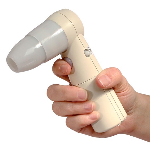
Display and preserve captured images wirelessly.
The app displays and preserves pictures captured with AirMicro and ProScope Mobile. It allows users to view live video and capture still images directly into the photo library on an Apple Mobile device.


Tigran Mkhitaryan
Areas and routes on the map
Distances, areas, and routes on maps using standard, satellite, terrain, and hybrid views. Calculate total area between points or along a route. Display coordinates in UTM and MGRS formats.

Apps are ranked by functional similarity, category fit, rating confidence, and popularity.