Navigate public transport in with real-time arrival times and waiting durations. View maps for , EMT, and Interurbanos lines. Calculate routes between stations. Save favorite stops and access timetables for accurate planning.
Displays next arrival times for selected stations, showing line color, car count, destination, and arrival time. Set favorite home and work stations. With location access, selects nearest station by default and lists 5 closest stations in settings.
Purchase tickets, recharge passes, and find real-time
Buy transport tickets and recharge Navigo passes directly from your iPhone. Search for routes including trains, RERs, metros, trams, buses, coaches, bicycles, Vélib', car-sharing, and car rentals. View real-time schedules and traffic information.
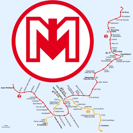
The app provides official subway maps for Paris, France, including Metro, RER, and Bus lines. It features a journey planner that works without a network connection and locates nearby stations.
Find routes between two metro stations using an interactive map. Display real-time metro layout with station names and connections. Navigate easily during commutes with clear directions and station details.
Book rides for curb-to-curb transportation within the Austin area. Select and drop-off locations. View real-time vehicle tracking. Pay with a bus ride price. Access service areas for shopping, work, and events.
Plan trips with real-time schedules and route guidance. View maps with transit lines and stops. Search for buses, trains, and ferries. Get fare information and service updates. Bookmark favorite routes and share trip details.
Find transit routes between locations in supported cities. Choose from , Subway, Tram, and other rail systems. View step-by-step directions and estimated travel times. Save favorite routes and share trip details.
View real-time bus and rail schedules for Los . Check arrival times, track vehicle locations, and plan routes. Receive updates on delays or service changes. Find stops and directions within the .
Uses the official TfL London Underground map design. Includes Night and Rail Network views. Features a geographical bonus map. Provides live travel updates and a journey planner. Allows users to plan routes and view service status.
The app provides an up-to-date subway map of Singapore, working offline with a route planner and GPS. It includes English and Chinese language options and street maps for every station.
Find ethanol-free gas stations sorted by distance. View map to locate stations. Get driving directions to selected stations. Track and save fuel mileage and trip distance at each fill-up.