Secure , videos, documents, and passwords with AES military-grade encryption. Hide and manage files in an encrypted private space. Decrypt files instantly and view them while decryption continues in the background.
Create map journals by pinning locations and adding notes and photos. Track travel history with a heat map that shows visit frequency and can be customized in color. Choose from multiple map styles and use Street View.
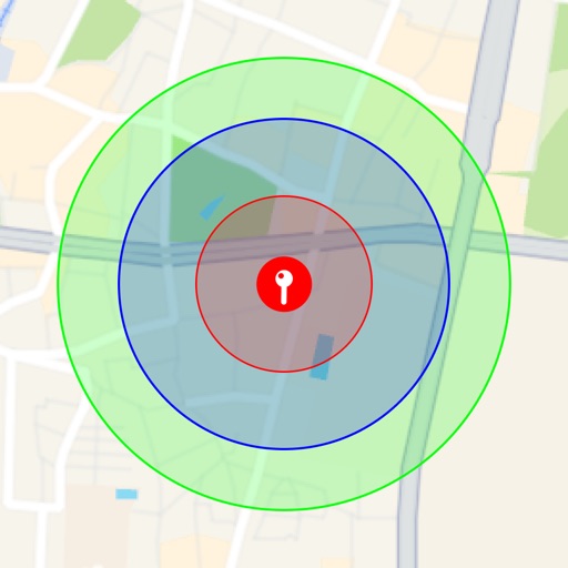
Visualize around map pins to compare distances. Set up to three per pin. Search locations and check nearby points of interest. Switch between standard and satellite map views. Automatically save pins for future reference.
Create custom maps and organize locations with multiple pins. Save and share maps with friends or colleagues. Navigate from current location to a chosen destination. Mark visited places and plan delivery routes or walking tours.
Measure distances between locations by pinning points on a map. Track real-time distance using GPS with a timer. Switch between metric and imperial units for distance measurements.
The app measures distances, perimeters, and areas with precision over satellite images. It calculates surface areas, dimensions for fencing, and more without needing to be on location.
View and manage files with customizable map displays. Import files from cloud services, local devices, or emails. Choose between Apple Maps, Google Maps, OpenStreetMaps, or custom tile sources. Adjust colors for waypoints, track points, and routes.
Arthur Eduardo Skaetta Alvarez Desenvolvimento de Software LTDA.
Distances and areas with GPS
Distances and areas using satellite images. Tap the map to add markers and calculate distances or enclosed areas. Search for addresses to locate measurement points. Support multiple units including square feet and square meters.
Add using current location or search. Create routes with step-by-step navigation. Save notes and photos for each location. Share locations with others. Track visited and plan future trips. Sync across devices.
View real-time cruise tracking maps with ship location, destination photos, and shore excursion details. Upload and organize river cruise photos to a personal album that pins images to the map for easy reference.
The app calculates distances and bearings between two points using latitude and longitude. It can also determine a final position from a starting point, distance, and bearing.