Trips by suggesting optimal routes and displaying nearby stops like restaurants, ATMs, and petrol stations within 50 kilometers. Track fuel and food stops along the way. Adjust routes and view estimated travel times.
Track locust activity with a live map showing recent observations and detailed pin information. View reports in a list with source details and map integration. Assess personal risk based on location and activity data.
Real-time operator map shows live radio stations worldwide. Tap pins to view station details and call signs. Connect with operators globally, send and receive messages. Track communication history and manage contacts.
The app displays itineraries chronologically and allows sorting by date, time, or distance. It provides travel times, photos, and maps with place names.
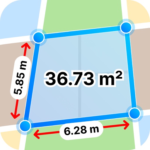
Distances between points or calculate area of locations. Draw paths on maps or tap to add points. Record movement automatically while walking, running, or cycling. Save measurements for later review.
The app supplements the default iOS Maps app. It displays businesses, stations, streets, locations, and monuments on Apple Maps and provides walking or driving directions.
Locate utilities and record positions with pinpoint
Locate underground and above-ground utilities with pinpoint mapping. Record and manage data points for infrastructure. Export data or relocate previous map entries. Answer location-based questions about services or damages.
Navigation allows users to view free and maps including OpenStreetMap, OpenTopoMap, and OpenCycleMap. It supports Apple Maps integration. Users can save favorite locations, tag them, customize pin colors, and share locations.
The app assists visitors in navigating Melbourne and Victoria. It includes 203 sights with map pin-drops, hotel information entry, and weather forecasts.
The app provides address look-ups for Male', the capital of Maldives. Users can search for locations and save or share them after viewing location information.