
OpenStreets 4 Open Street Map
Navigate with map data and track locations
KicksApps GmbH
iPhone Screenshots


iPad Screenshots


Description
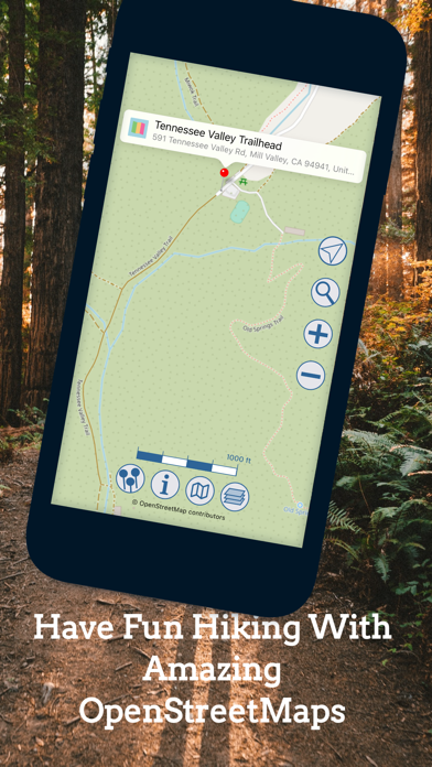
Navigation allows users to view free and maps including OpenStreetMap, OpenTopoMap, and OpenCycleMap. It supports Apple Maps integration. Users can save favorite locations, tag them, customize pin colors, and share locations.
Get OpenStreets today! The smart social mapping tool is your all-in-one mapping solution based on Open Street Map data, collected by millions of volunteers worldwide:
* enjoy great free & open maps like OpenStreetMap, OpenTopoMap & OpenCycleMap
* Apple maps are supported as well
* manage your favorite locations: you can store locations, tag them, change pin colors & share locations with friends & family
* once downloaded open maps remain available for offline use
* show radius circles around locations
Let your iPhone / iPad remember locations for you. Share your places with just a few taps!
USE CASES:
* remember a cool spot (restaurant, store, sight ...) as you pass by and recall it easily
* plan you vacations with OpenStreets & store places to visit - once you're traveling OpenStreets will show you where to find all those cool sights you read about in your guidebook
* tell your friends where that great new restaurant is with just a few taps
* easily let friends & family know your precise location, e.g. to meet in a park
OpenStreets will help you whenever it comes to remembering places & sharing them.
Your FEEDBACK is greatly appreciated! If you'd like to suggest a new feature or need help using OpenStreets - just contact us:
eMail: [email protected]
Have fun with OpenStreets!
App information from Apple App Store. OpenStreets 4 Open Street Map and related trademarks belong to KicksApps GmbH.