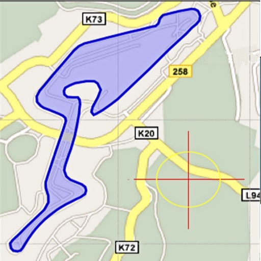
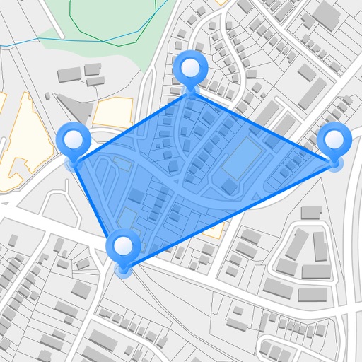
Area, lengths, and angles on maps using an interactive crosshair. Trace outlines to create connected points, updating area and perimeter in real time. Adjust radius for scaling features. View dynamic length and angle as you move the crosshair.
View and edit custom maps, manage geographic data, and perform measurements. Support offline map downloads, track locations, record photos and videos, and share memories. Includes tools for surveying, cartography, and planning trips.
Dimensions, spacing, and angles in screenshots and photos. Analyze color values, grid alignment, and element positions. Export measurements and compare dimensions across images.
Measure rooms, doors, windows, countertops, cabinets, tubs, and showers to create accurate plans. Calculate area and dimensions automatically. Generate project estimates and export plans for collaboration.
Measure surfaces for levelness and angles with high precision. Calibrate quickly and save settings automatically. Accurate to one tenth of a degree. Supports Retina displays. Align picture frames or check table surfaces.
Manage and organize spatial geodata with maps stored in a catalog. Download and view maps in CMF2 format. Process and analyze geospatial data in the field without authorization or payments. Export ArcGIS maps to CMF2 using Builder.
Real-time 3D maps with GPS navigation. Access HD views for current locations and addresses. Get driving directions and traffic updates. Receive voice-guided routes for navigation. Sync with global earth map for location-based insights.
Measure areas and distances on maps by placing points and calculating the total or route length. Save and share specific locations as points of interest. Calculate GPS areas with high accuracy.
View boundaries, parcel data, and land information using GPS. Check ownership details, lot lines, and classifications. Access nationwide coverage and accurate positioning for real-time land verification.
Navigation allows users to view property line , parcels, and public lands. Access land ownership details and map layers for 50+ states including hunting zones and restricted areas.
Displays real-time traffic and satellite views. Shows current location and allows address input. Measures land area and calculates radius and corners. Shares location via email, SMS, or social networks. Auto-updates direction based on movement.
Measure distances by tapping the screen to calculate wall, floor, or linear feature lengths. Calculate areas by drawing around spaces for instant square footage or meter readings. Count items quickly with on-screen tools.
Measure objects or distances using AR technology. Switch between units for accuracy. Create sketches with text editing options including size, color, and positioning. Share measurements and sketches directly from the .
The app offers time and expense management with flexible configuration and centralized data. It provides features like mileage tracking, receipt scanning, leave management, and geo-fencing for enhanced control and decision-making.