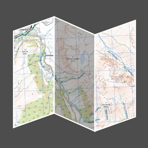
View topographic of the United States with options for standard or hybrid map sources. Download for offline use and track current location on the map. Navigate using map features and explore terrain details for outdoor activities.
by DC Cloud Apps, LLC★ 4.4208 ratingsNavigationFreeData updated 2026-09-10
The app provides millions of points of interest and thousands of miles of routes across Germany, Scandinavia, and the Benelux countries. It stores data on the device for offline use, offering various categories and route types from OpenStreetMap.
The app displays millions of points of interest and thousands of miles of routes across several European countries. It offers offline access to all data, including hotels, attractions, and various route types like hiking trails and railways.
Search routes with filters to customize your mountain adventure. View trail conditions, hunting schedules, and incident alerts. Track user activity and report trail issues. Share routes and stay informed about environmental changes and path closures.
Track location and map terrain with real-time GPS data. Create and save custom routes. Mark waypoints and measure distances. Share maps and routes with others. Sync with devices for offline navigation. View elevation changes and terrain details.