View real-time and forecast air index data for specific locations. Check daily counts and five-day allergy forecasts. Access NOAA Doppler radar and weather maps for pollution, air , and .
The app provides weather forecasts for multiple cities and current location. Users can view conditions, precipitation, wind, and air quality for up to 14 days, with hourly details available.
View current , forecasts, and radar images. Customize main screen widgets. Remove ads. Choose color themes. Save up to two locations. Access advanced data. Sync with Apple Watch. Lock locations for privacy.
The app provides detailed, up-to-date forecasts and location-specific alerts from the local KXLY First Alert weather team. Users can view live and future radar, satellite imagery, temperature, and wind speed maps, and check local school closures.
The app displays weather data for San Francisco neighborhoods and Bay Area cities. Users can view current temperatures on a heatmap and access a 24-hour forecast, along with detailed information for specific areas.
View current weather, forecasts, and severe weather alerts for Canadian locations. Customize the display with modular sections. Track temperature, precipitation, and wind. Receive notifications for weather changes. Sync with Environment Canada data.
The app provides weather information including current temperature, humidity, and pressure. It offers a four-day forecast with wind speed and direction, sunrise, and sunset timings.
View real-time images for current precipitation and severe alerts. Check hourly and daily forecasts for temperature, wind, and humidity. Receive notifications for changing conditions. Track rainfall intensity and duration.
The app provides weather forecasts for Spanish locations, updated in real time. It includes rainfall radar, forecast reliability, sunshine probability, and temperature values.
View current and forecasted with hyper-local, high-definition visuals. Track severe storms and light rain. Receive real-time updates from NOAA and National Service. Set location-based alerts and customize notification preferences.
Plan rides by analyzing conditions, speed, and location to optimize tailwind and avoid headwinds. Choose ideal riding times and equipment based on forecasted . Track hydration and nutrition needs during rides.
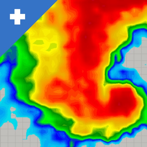
View real-time mosaics with 250-meter resolution for detailed storm tracking. Zoom in on weather patterns and analyze data. Save and share images. Access historical data for comparison. Set location-based alerts for severe weather conditions.