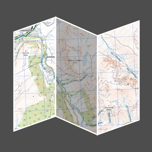
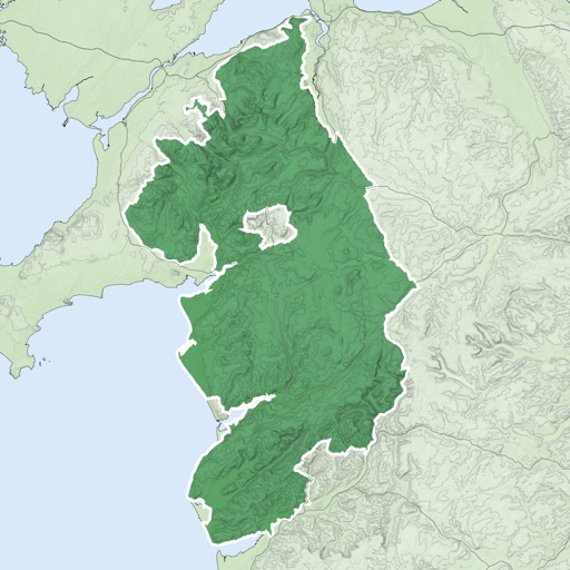
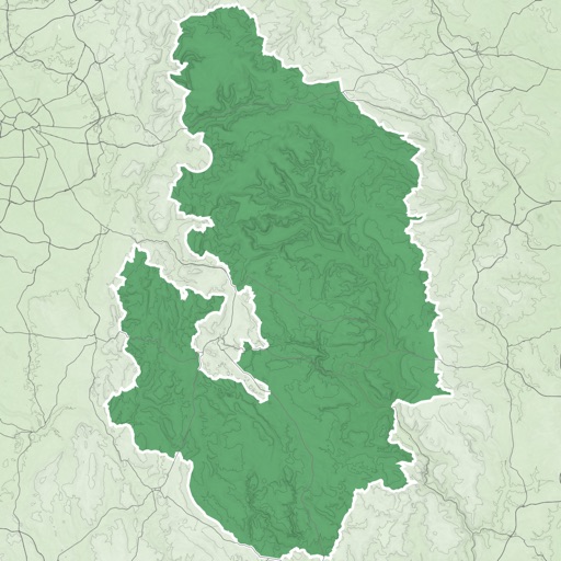
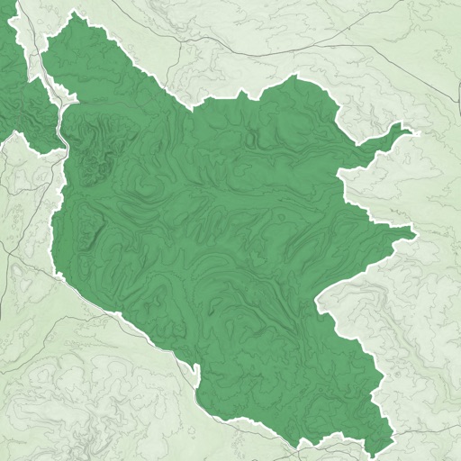
Download for national parks and USGS topographic regions for offline use. Access 150 NPS park and 60,000+ topographic . Use GPS navigation without internet connectivity. Save for later use in areas with no data service.
by Delcartes LLC★ 4.6195 ratingsTravelFreeData updated 2026-09-10
Navigate off-road trails and remote areas with maps and turn-by-turn directions. Mark waypoints, track routes, and view elevation data. Access terrain details and compass navigation without internet connectivity.
A mobile guide offers offline access to information about . Users can read about the history, geography, flora, fauna, and ecology. It includes details on visiting hours, fees, accommodations, safety tips, and recommended day trips.
Navigate with truck-specific GPS routes that avoid low bridges and restricted areas. Access real-time traffic updates and offline maps. Find parking locations and weigh stations. Communicate via a driver-to-driver walkie-talkie feature.
The app allows users to search Utah County property records by address, name, or parcel. Users can also pan and zoom a topographic map to find property details like ownership history and values.
Track and save GPS locations for cars, hotels, and other places. View maps in Roadmap, Satellite, Hybrid, and Terrain modes. Share locations quickly and search for points of interest with GPS navigation.
Track routes for hiking, running, cycling, and other activities with GPS. View recorded paths on maps. Save favorite locations for quick access. Measure distance, speed, and elevation. Export data in various formats.
The app offers automatic map and traffic regulation updates, including signs and speed limits. It provides 24-hour traffic jam information and suggests alternative routes during trips.
Manage and organize spatial geodata with maps stored in a catalog. Download and view maps in CMF2 format. Process and analyze geospatial data in the field without authorization or payments. Export ArcGIS maps to CMF2 using Builder.