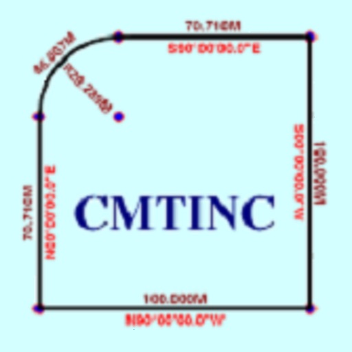
The app converts real property descriptions into boundary maps. Users enter angles and distances to draw property boundaries, displaying closure error, total area, and perimeter.
The app provides altitude difference information and supports left/right green systems. It covers over 60,000 courses worldwide and offers high-resolution maps.
Enable location sharing between devices using GPS data without cellular connectivity. Access high-level location information on iPad via tethering from iPhone. Record and track location data with built-in logging features.
Track progress during TSD rallies with real-time distance calculations based on average speed. Adjust timing manually via co-pilot input. Monitor speed and distance to maintain compliance with regulations.
The app records GPS track data for power boating, including direction, speed, and time. Friends can remotely follow trips in real-time and review tracks, speed, and direction.
Track driving stats including total distance, hours practiced, and average trip time. View trips on a map and log lessons in a calendar. Requires constant GPS use, which may drain battery.
The app allows users to manage crisis communication and incident response. It supports offline functionality, enabling users to create and sync records when a connection is available.