Calculate distances and areas using GPS coordinates. Place markers on a map to measure distances between points or total of a route. Delete markers by tapping them. Export results for further use.
The app offers GPS tracking, photo and document sharing, and polling features. It provides real-time communication, location verification, and automatic time tracking for remote employees.
Measure current and track elevation changes. Save named locations with icons for easy navigation. Syncs across iPhone, iPad, and Apple Watch. No ads and free to use.
Receive real-time kinematic (RTK) corrections for precise GPS positioning. Connect to MyWay RTK branded Bluetooth devices. View satellite status and correction data. Adjust settings for optimal navigation accuracy.
Collect and manage data offline with customizable forms. Conduct surveys, inspections, and audits. Generate reports and sync data when connected. Track tasks and work orders. Share findings securely with team members.
View trails and routes for snowmobiling and ATV/UTV use. Locate points of interest and local events. Check closures and openings. Post updates and events through affiliated clubs. Navigate outdoor trails with real-time location tracking.
The app generates contour maps from elevation data and computes volumes based on contour regions. It allows users to digitize points, lines, and areas over a map and provides stakeout functions for precise location finding.
Explore outdoor routes and points of interest with layered maps. View IGN maps, aerial photos, and OpenStreetMap for hiking and . Access Spain and Swiss maps, emergency call coverage in France, and winter trail information.
Record and update field using custom survey forms created in a user-friendly form builder. Submit online or offline and access it instantly from the office. Digitize workflows to reduce errors and eliminate paperwork.
Record routes from specific locations to survey sites and display them on a map. Measure distances between coordinates or map points. Calculate areas using coordinate lists or map selections.
And share geospatial with intuitive tools. Record observations, track locations, and automate workflows. Edit and validate in real-time. Sync with GIS systems and generate reports. Collaborate with teams through shared projects and real-time updates.
Collect and map field data with customizable forms and attributes. Capture data offline or online. Transfer data to desktop GIS platforms. Edit and manage attributes directly in the field. Sync data with preferred GIS software.
The app allows users to precisely digitize points, lines, and areas over a map and save them as features. Users can view position, length, or area values for saved features and measure distances and areas without saving shapes.
The app provides precise GPS coordinates by forming an average value from multiple measurements. It reads the current position every second and filters out short jumps to improve coordinate determination.
Track location data without internet connectivity. View date-wise location history on your . Access current location to record movement. No personal data is uploaded or shared. Monitor activity logs directly from the .
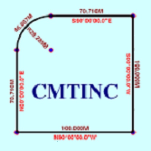
The app converts real property descriptions into boundary maps. Users enter angles and distances to draw property boundaries, displaying closure error, total area, and perimeter.