Distances, areas, and routes on maps using standard, satellite, terrain, and hybrid views. Calculate total area between points or along a route. Display coordinates in UTM and MGRS formats.
The app converts GPS coordinates to over 4000 coordinate systems. Users can select a target system, locate points on a map, and view coordinates in WGS84 and the target system.
Record employee attendance with biometric authentication and GPS tracking. Log in remotely from smartphones. Receive break and lunch reminders. Syncs with digital time cards. Geo-tagging confirms onsite presence during check-in.
Measure areas using GPS or manual map points for accurate calculations. Switch between and distance modes. Save measurements for later access. Use compass navigation for directional guidance.
The app surveys land using GPS signals for precise results. Users can unlock full area measurement capabilities through a purchase, while free use provides side lengths and circumference.
Plan and coordinate crisis responses with real-time geospatial imagery and personnel tracking. Communicate between ground teams and aerial support. Locate individuals and provide directional guidance to new arrivals.
Receive location data via email and map it automatically. Visualize GPS coordinates with a radius overlay. Get notifications for location updates. Share mapped locations with others. Set custom radius sizes and track movement patterns.
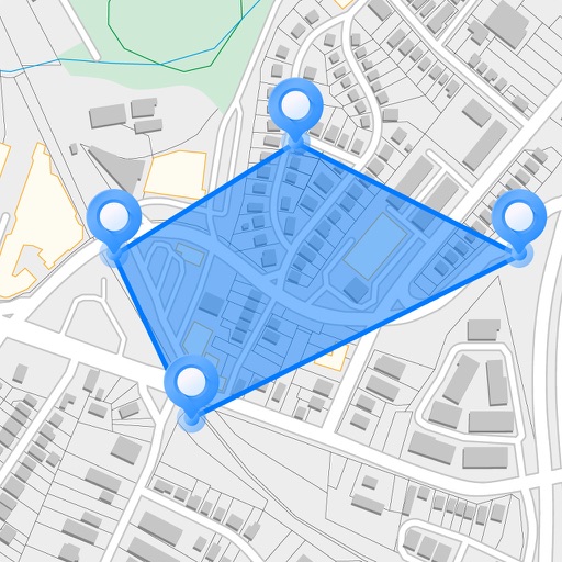
Measure areas and distances on maps by placing points and calculating the total or route length. Save and share specific locations as points of interest. Calculate GPS areas with high accuracy.
Find available street parking spots in your area or another neighborhood. Connect with drivers looking for parking. Search for open spots and book them. Earn points by hosting spots and lose points by finding them.
Calculate areas, plots, and distances using GPS technology. Draw and map regions on a map. Measure perimeter and of custom shapes. Save and share measurement data. Export maps in various formats.