
GXP OnScene®
Plan, communicate, and locate personnel in real
BAE Systems Information Solutions Inc.
iPhone Screenshots


iPad Screenshots


Description
Plan and coordinate crisis responses with real-time geospatial imagery and personnel tracking. Communicate between ground teams and aerial support. Locate individuals and provide directional guidance to new arrivals.
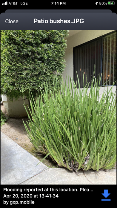
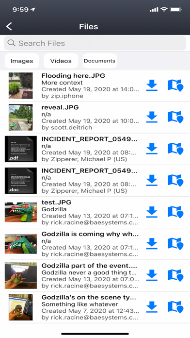
Crisis/event preparation and planning; communication between ground personal and aerial support; locate personnel as situations evolve, and provide direction to new personnel arriving on scene.
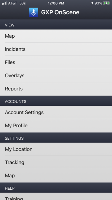
BAE Systems’ GXP OnScene is a companion App to your site's GXP OpsView or GXP Xplorer server. It provides tactical, real-time personnel coordination and geospatial imagery capabilities to responders as they arrive on the scene of a crisis or event. Fusing mobile app, desktop, and server technology, GXP OnScene provides a graphical grid overlay on top of up-to-date, personalized maps to field users via their smartphone or tablet. Teammate locations display as named markers on the map using the device GPS. Functionality provides those in command of the situation with a simple tool to coordinate and direct the responders in real time, eliminating ambiguity from updates and instructions.
*** Continued use of GPS running in the background can dramatically decrease battery life. ***
App information from Apple App Store. GXP OnScene® and related trademarks belong to BAE Systems Information Solutions Inc..