iPhone Screenshots

Description
The app Etnatracking - Sciara Nera puts in your pocket all the info you need to explore Etna on your own!
The app provides you the following information even if you are off-line!
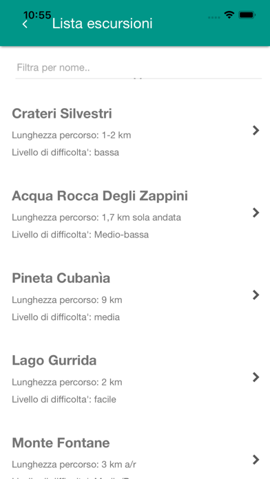
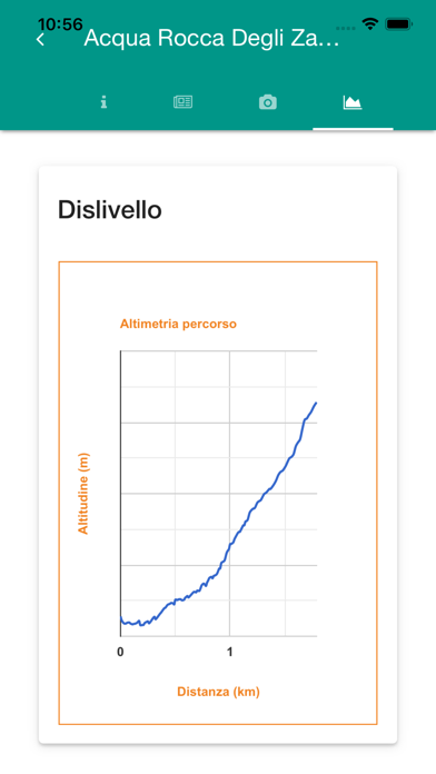
-Routes Summary (points of interest, lenght, suggested season and so on)
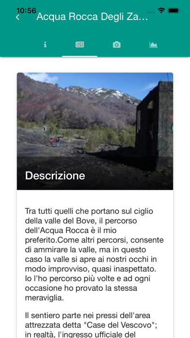
-Description
-Map
-Info amout mountain refuges on Mount Etna
-Info about mount Etna summit craters
-Search paths close to your position
-Transportation in Mount Etna area
The following functions are available only in the presence of data connection:
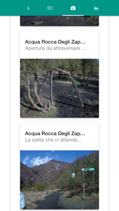
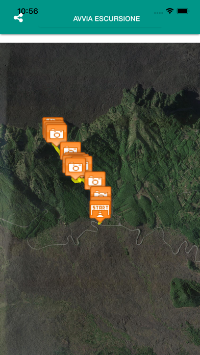
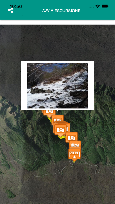
-Photos Paths
-Driving Road car to the starting point of the path selected
-Weather forecast
You may explore the trails in a few simple steps !!
-Download App
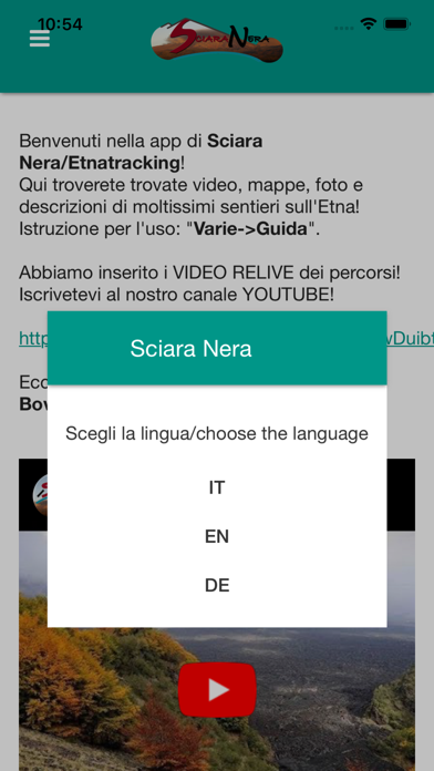
-Change language!
-Search routes close to you (you can increase range search on settings) or search routes by name!
-Use "Get Directions" to drive to the starting point
-Read the description and follow the path