
iPhone Screenshots



Description
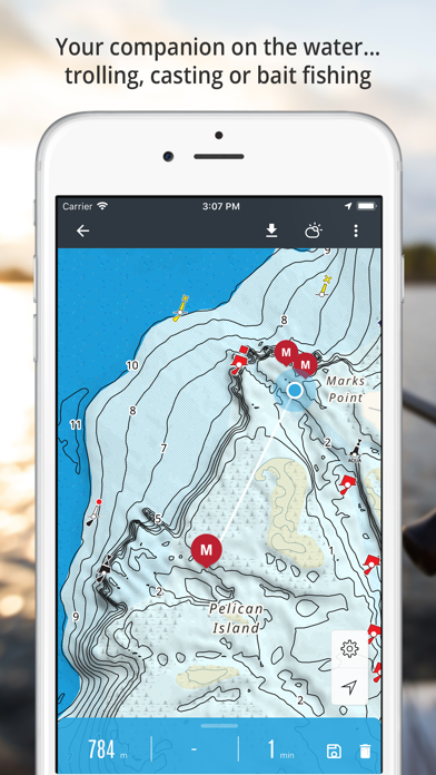
Access detailed maps of NSW and Victorian lakes and estuaries for offline use. View 2D contours or 3D bottom mapping with color-coded depth information. Save maps for offline access to locate fishing spots.
Smarter Fishing: Your companion on the water. Whether you're trolling, casting or bait fishing our app is a valuable tool for any Charted Waters member.
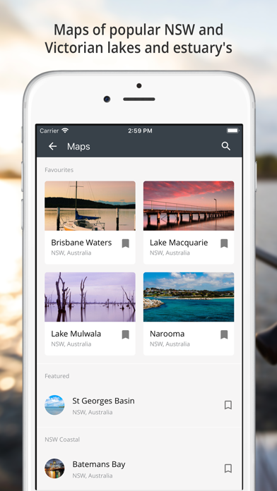
Get this free app as part of your Charted Waters membership and access detailed maps of popular NSW and Victorian lakes and estuary's...
Online or Offline: Save Charted Waters maps for offline access, so you can find great fishing spots even when you're off the grid.
Depth Contours: View 2D Contours or 3D Bottom Mapping, each are colour coded to help you find your targeted water depth.
Deep Water: Deep, Intermediate and Shallow Waters are marked to help you easily identify areas you want to fish or travel through.
Markers/Structures: We provide locations of navigation aids, ramps, hazards, rivers, creeks, lagoons, islands & more.
Your Waypoints: Keep a log of all your catches and mark your favourite fishing spots. Go back anytime, no more guessing where that hot spot was!
Handy Tools: Control map layers, add waypoints, view real-time weather. All you need for a successful fishing trip.
Sync: Sync your data to your online account. View your waypoints on any device
Current maps include:
Batemans Bay
Bega River, Tathra
Blowering Dam
Brisbane Waters
Brogo Dam
Burrinjuck Dam
Copeton Dam
Corunna
Georges River
Glenbawn Dam
Lake Eildon
Lake Eppalock
Lake Hume
Lake Illawarra
Lake Macquarie
Lake Mulwala
Lake Windamere
Mallacoota Inlet
Manning River
Merimbula
Myall River & Lake
Narooma
Pambula
Port Stephens (East)
Shoalhaven
Smith’s Lake
St Georges Basin
Talbingo Dam
Tamboon Inlet
Tuross Lakes
Wallaga Lake
Wallis Lake
Wonboyn Lake
Wyangala
We’re expanding our map data all the time and look to have charted waters for the majority of Australia and beyond. Stay tuned.
All maps and charts are for reference purposes only. Not for navigation.