
TerraExplorer
View 3D maps and analyze spatial data
Skyline Software Systems, Inc
iPhone Screenshots

Description
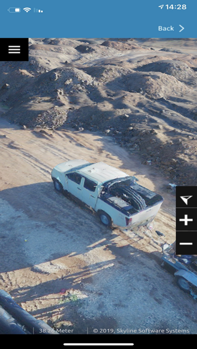
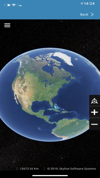
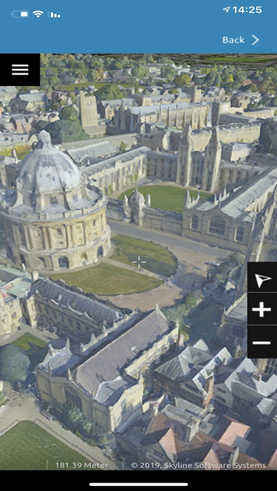
View high-resolution 3D terrain and city layers. Query and analyze spatial data. Display feature layers and geographically accurate terrain. Present data on mobile devices. Integrate with Skyline product line for data access.
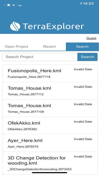
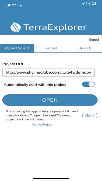
TerraExplorerApp is a 3D GIS viewer that enables you to view high-resolution, stunningly realistic SkylineGlobe 3D content. The TerraExplorer app can display most of your spatial databases including 3D city layers and feature layers, and it provides powerful tools to query, analyze and present your data on the go. TerraExplorerApp integrates smoothly with the entire Skyline product line for easy access to all your data – from photo-realistic, geographically accurate terrain databases created in TerraBuilder to PhotoMesh’s high-resolution, textured, 3D mesh models. Moreover, TerraExplorerApp seamlessly accesses online data from Skyline’s SkylineGlobe server and other OGC-compliant servers, and quickly loads online TerraExplorer projects. The app comes installed with a link to a demo project that introduces you to some of the mobile functionality.