
iPhone Screenshots


iPad Screenshots
Description
GEOEYE
A convenient tool for surveyors
Geoeye provides information on networks of continuously operating geodetic base stations, geodetic points, and cadastral plots. You can check the operational status of a base station you are interested in, view information about a cadastral plot, and download data on geodetic points in your area.
Additional features include:
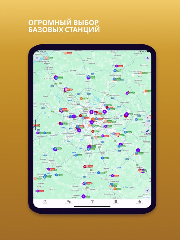
* Cell Towers and Network Coverage
* Various map layers: Google Maps, OpenStreetMap, and others.
* Accessing information about geodetic points from various sources, including Rosreestr.
* Coordinate Systems Map.
* Creating custom objects, such as polygons and polylines.
* Placing custom markers on the map with the ability to attach photos.
* Exporting reports in PDF format.
* Routing to geodetic points.
* Working with .kml files.
* Coordinate Converter
Networks of continuously operating satellite (GNSS) base stations available in the application:
* RTKNet (Geodetika)
* PrinNet
* EFT
* Geospider
* Hive
* SmartNet
* UralSurvey
* TopNet (GSI)
* MTS Location Pro
* Geokurs
* Kuzbass
* Uralgeotekhnologii
* Poleos
* Pidata
App information from Apple App Store. Geoeye GNSS базы и геопункты and related trademarks belong to Dmitrii Munitsyn.