
MOITFE Fire Alert
Track fires, monitor impacts, receive alerts
National Information Technology Center, Government of Nepal
iPhone Screenshots
Description
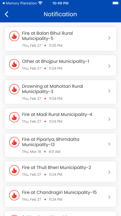
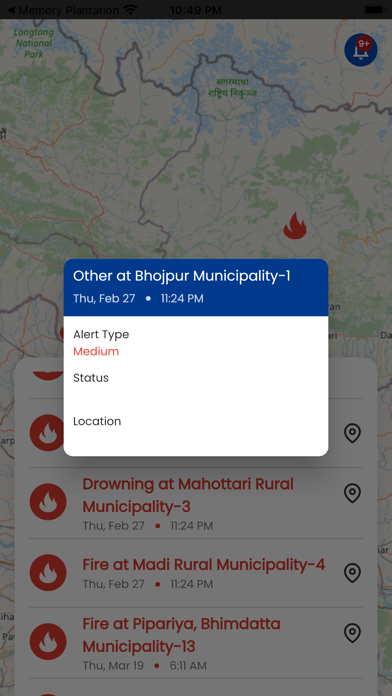
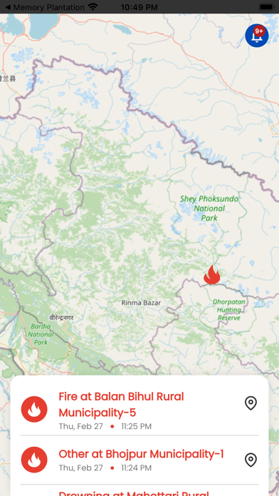
Track wildfire locations and progress in real time. View impact areas and infrastructure affected by fires. Receive alerts about new detections. Share updates with emergency services and local communities. Monitor spread patterns and historical data.
It's a satellite-based wildfire activity tracking map that tracks fire location and
progress, as well as monitoring infrastructure and impacts in remote areas.
When a fire is detected, an alert or notice is delivered to the app, which assists the community and society in staying safe from fire. Natural resource managers, public entities, and anyone living or working in wildfire-prone areas will benefit from this software.