
iPhone Screenshots


iPad Screenshots
Description
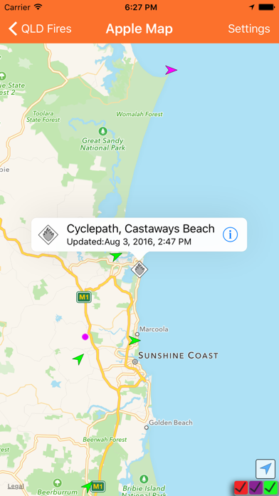
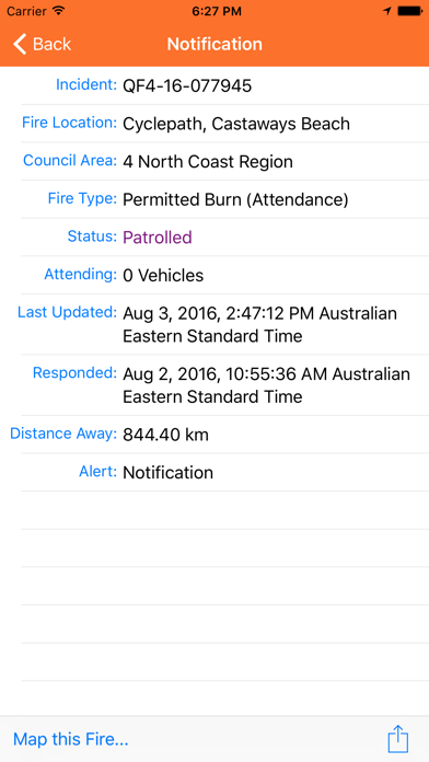
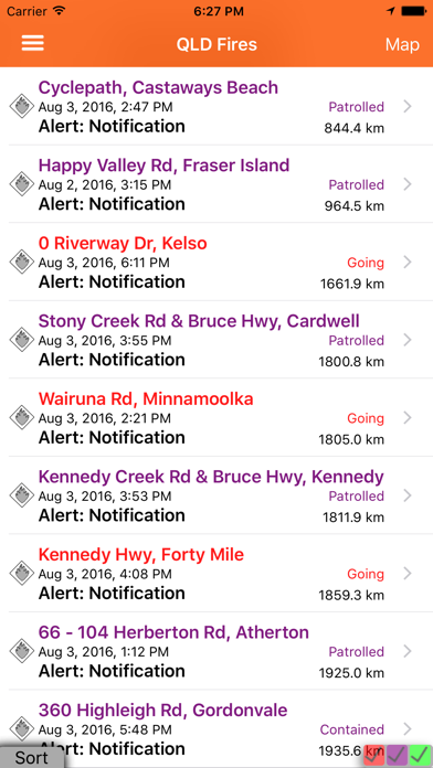
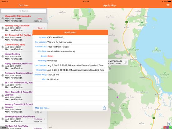
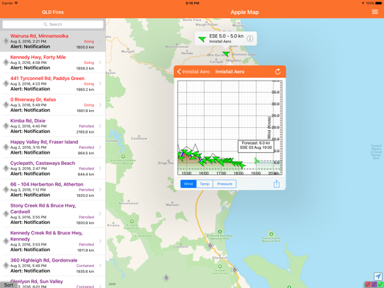
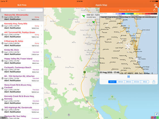
View current fire locations in list or map format to assess proximity. Access wind data and satellite hotspots for situational awareness. Receive real-time updates from Queensland Fire and Rescue Service and Australian Bureau of Meteorology.
The QLD Fires application is designed to provide information on current fires within the state of Queensland Australia. The information is displayed in a list or map view to enable the user to understand how far the fire is from a user.
The application also maps current wind and satellite "hotspot" data to try and provide as much information as possible.
It utilises fire information from the Queensland Fire and Rescue Service, wind information from the Australian Bureau of Meteorology and Satellite "Hot Spots" from Geoscience Australia.
App information from Apple App Store. QLD Fires and related trademarks belong to P4G Pty Ltd.