
iPhone Screenshots



Description
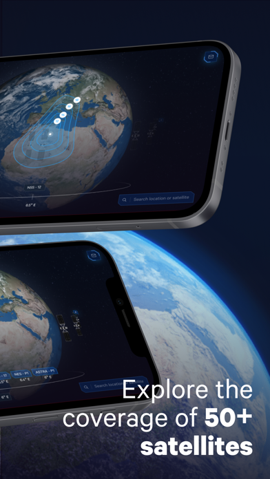
The app provides an interactive 3D view of the satellite fleet and global coverage. Users can search for coverage maps by location or satellite, filtering by band, and zoom in to view detailed maps for specific areas.
The SES GEO app allows you to explore the whole satellite fleet and coverage with ease. Wheter you are looking for coverage maps in the area where you need service or want to navigate 360 degrees around the globe, you can access satellite data and coverage maps for each satellite in just a few taps.
Main features:
- Interactive 3D satellite fleet and globe
- Powerful search that allows you to find all coverage maps by location or satellite and filter by band
- Zoom in on the globe and select a location to view all the coverage maps
- Compare the detailed coverage maps through simultanious display