
BusBahnBim
Find routes across all of Austria.
Verkehrsauskunft Osterreich VAO GmbH
iPhone Screenshots


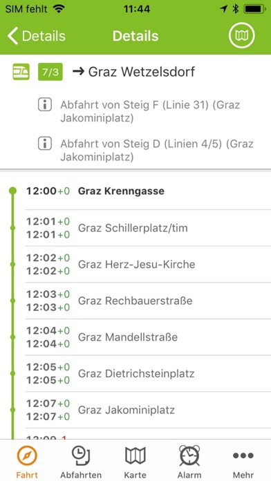

Description
The app provides route information across Austria using public transport, walking, cycling, or driving. It incorporates real-time traffic data, including construction and congestion, and allows users to combine various transport modes.
With the BusBahnBim App you will always find the best route in all of Austria: whether by public transport, on foot, by bike or by car. Based on the Traffic Information Austria (VAO), the multimodal app is working multimodally – you can also combine with functions like Bike & Ride, Park & Ride, Kiss & Ride and Car Train.
BusBahnBim works simply by address input and always uses the most up-to-date data. For example, the current traffic situation can also be included, including construction sites, congestion, delays, diversions, etc. Also stop-call names are no longer necessary for the query, by activating the GPS-positioning, the current location can be used as the starting point. Optionally, the desired destination address, a street name or point of interest can be used.
The BusBahnBim App allows quick, uncomplicated information, a realistic comparison of the time involvement of different modalities, offers clear maps and charts supporting orientation, and fascinates with a modern design. A favorite choice, dispatch of the connection and info via e-mail or SMS, storage of the departure times and arrival times in the calendar are other useful features.
Overview of the functions of the BusBahnBim App:
· Stop search via GPS
· Journey proposals incl. time involvement
· Connecting dispatch via e-mail or SMS
· Memory possibility with reminiscent function in the calendar
· Clear map representation by high-resolution map
· Define your own favorites
· Intermodal comparison between public transportation, foot / bicycle routes and motocar routes and the time involvement
· Monitor announcement for an elective stop