Description
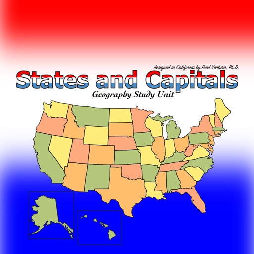
The States and Capitals - Geography Study Unit presents maps of the United States to help students learn the names and locations of states and their capitals. This colorful app provides a variety of activities and presents information about each state including postal abbreviation, highest point, time zone, date admitted to the union, area in square miles and square kilometers, population and the number of electoral votes. A game-like quiz challenges students to match a state with its capital. Another game randomly selects a state and asks the student to locate the capital on a map.
Information presented while using the app:
Name
Capital
Postal Abbreviation
Highest Point
Time Zone
Date Admitted to the Union
Area in Square Miles and Square Kilometers
Population
Number of Electoral Votes.
Maps presented in the app:
Black Line
Color Map Showing States
Land Elevation
Time Zones
Geographical Regions
Available for iPadOS.