
iPhone Screenshots





Description
- Routes show when it's storm season and when it is the best time to go.
- Port data shows monthly rain and Max/Min temperature averages.
- View tracks and wind speed of tropical storms that occurred between 2000-2020.
- Wind climatology show average wind per month collected from sattelite data. Also view pilot data collected from on-site observation from 1850-1970.
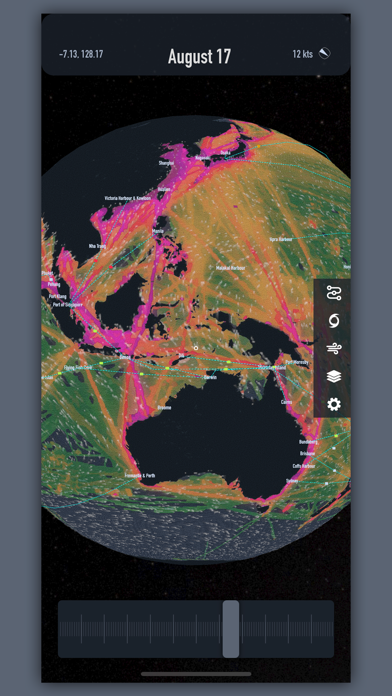
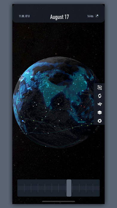
- Layers allow you to see Sattelite Imagery, Bathymetry, AIS Density, Time Zones, Lightning Strikes, and Population Density maps.