
iPhone Screenshots
Description
*** PLEASE NOTE: To use inDTSmobile, it is necessary to be connected to the backend of an inVTS system provided by in-innovative navigation GmbH. ***
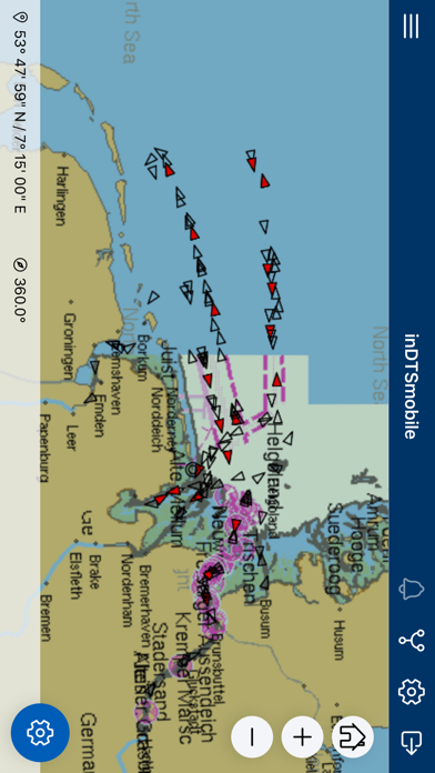
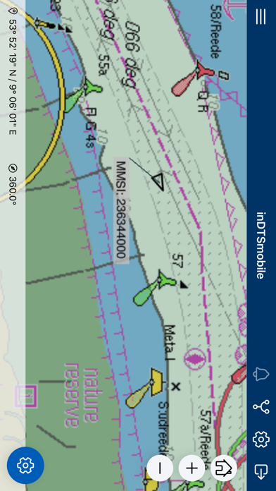
This app serves as frontend of an inVTS system. inDTSmobile provides view and management of real-time martime traffic. It displays real-time positions of vessels along river sections or coastal waters on top of a nautical chart. Additionally, it presents all available information about the vessels in a table view. This app is suited to be used by port, water police and waterway authorities.
Features:
* view vessels on a live map and in a table view
* get extended vessel and voyage data from inVTS database
* notice alarms and warnings generated by inVTS Traffic Analysis System (TAS)
* request detailed information about traffic signs and other map elements
* display routes, warning areas and corridors
* examine depth contours and tide forecasts
* use on portable pilot units (PPUs)
* follow planned voyages through difficult waterway sections
* discover traffic picture in 3-D view