
iPhone Screenshots



Description
eQuake is a modern earthquake tracking app built to make seismic activity easier to follow, easier to understand, and more meaningful at a glance.
With a live map, detailed event views, and advanced filtering tools, eQuake helps you follow recent seismic activity with greater clarity and explore events in a more informed way. It does more than display data. It turns seismic information into a cleaner, more readable, and more refined experience.
Highlights
- Live earthquake and seismic event map
- Detailed event information
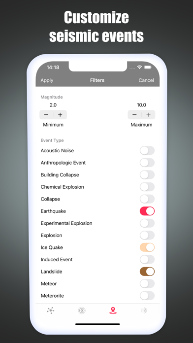
- Filter by magnitude
- Filter by date range
- Filter by event type
- Quickly center the map on your location
- View your distance to an earthquake
- View your distance to the nearest fault line
- Instantly see last update time and event count
One of eQuake's standout strengths is its multi-source data approach and advanced map visualizations.
The app combines earthquake data from both USGS and EMSC, then refines it with its own merge logic to create a cleaner, more balanced, and more consistent event stream. This helps handle duplicate records more intelligently and delivers a more polished tracking experience.
Advanced Map Layers
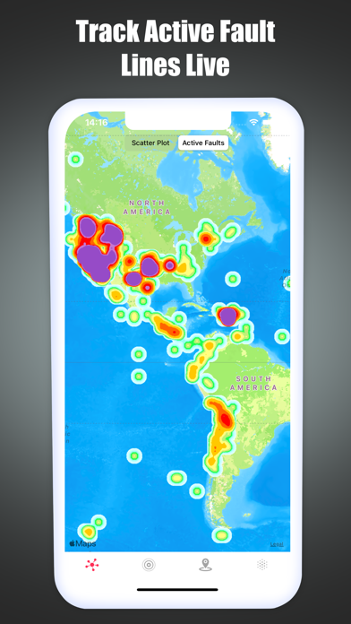
- Active Fault Layer for viewing seismic activity in a richer geological context
- Scatter Plot view for reading event distribution with greater clarity
- Heat Map view for spotting regional intensity patterns at a glance
- Mag Heat view for interpreting density and magnitude impact together
eQuake presents earthquake data through a more refined visual language, making it easier to track recent seismic movement, explore events in greater depth, and follow multi-source data through a more elevated experience.
Purchases are linked to your Apple Account and can be restored when eligible.