iPhone Screenshots
Description
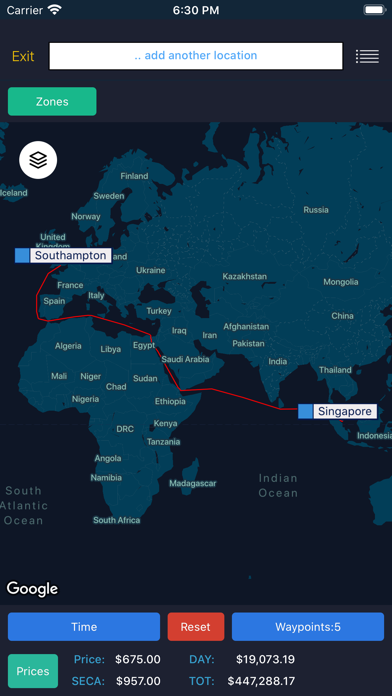
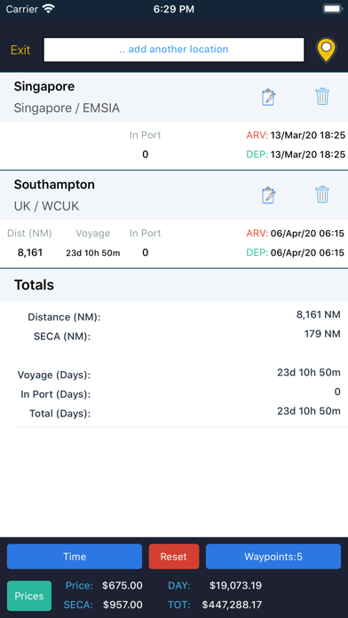
Sea/calc distance allows users to plot a route on a map and calculate the distance (including SECA distances) and voyage time between a number of waypoints, which can be locations, vessel AIS positions or points on a map.
- View arrival and departures times in different formats, including the local time at each of the locations in your route
- Exclude certain waypoints to use a different routing option
View and select from a list of daily bunker prices
- Display vessel route in a timeline, showing where the vessel will be at any given time on the route