
iPhone Screenshots
Description
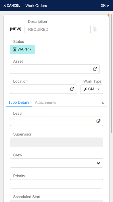
Maintenance and asset management work doesn’t always take place where there’s connectivity or a computer. Today’s asset-intensive businesses need flexible mobile technologies to expand and simplify the functionality of IBM Maximo and bring it out into the field.
Improve time-on-tools/wrench time, data accuracy, and derive more value from your maintenance resources by collecting data at the source, in real-time with DataSplice, while preserving Maximo as your single source of truth.
DataSplice (now known as Prometheus Group’s Mobile for Maximo solution):
• Is a single mobile platform for Maximo, Esri, and other enterprise systems.
• Is built with scalable technology that readily integrates into existing operations, and can be extended as your needs evolve
• Supports online, offline and mixed mode multi-use capabilities
• Collects accurate data in the field and increases data reliability
• Incorporates interactive maps (that function fully online or offline) into enterprise business processes
• Uses modern HTML5 mapping techniques, allowing users to interact with millions of GIS features in remote areas where reliable connectivity is not available
• Is built with a mobile-first responsive design
• Works with Prometheus Mobile for Maximo Forms; a complete dynamic data form, perfect for condition-based tasks, such as inspections. This full-featured system, which may be used with or without Maximo, can quickly be configured to meet regulatory, compliance, and operational requirements through a form-building toolset
• Integrates with Commercial-off-the-shelf solutions (COTS) for mobile work orders, inventory, planning, requests, reports, and forms
The Prometheus Mobile for Maximo Server uses a plug-in architecture to provide integration into a range of external systems including:
• IBM Maximo (through the MBO interface)
• Oracle & SQL Server databases (through Ado.NET database connections)
• ESRI web services (through REST API endpoints)
• LDAP & Active Directory systems
• Network file systems
Our server combines data from across these sources making them available to end users within a single customer application.