
Ski Haute-Gaspésie
Navigate mountains and track your route
Avalanche Quebec
iPhone Screenshots

Description
Provide detailed trail information including route names, difficulty levels, and elevation gains. Display precise topographic maps with avalanche terrain exposure ratings. Navigate through Chic-Chocs and areas.
The Ski Haute-Gaspésie application is presented by Avalanche Québec. This application is an essential to have with you to plan your day on the mountain and navigate in the Chic-Chocs and Haute-Gaspésie. Have Ski Haute-Gaspésie at your fingertips offers you:
The electronic guide of the Chic-Chocs itinerary including:
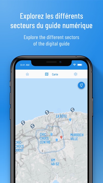
- A precise topographic map with avalanche terrain exposure scale ratings;
- The ascents and runs routes with information on them (name, difficulty level, elevation gain, characteristics and photos);
- Your position in real time on the map using your cell phone's GPS;
- The possibility to download the maps for offline use;
- And all the information contained in the Chic-Chocs guidebook.
All the information you need to plan your mountain trip in one place:
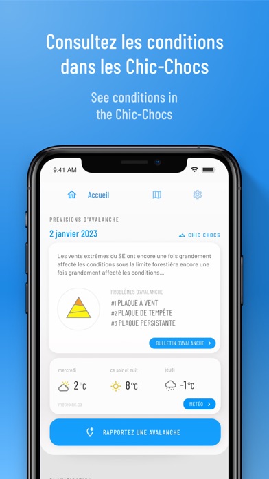
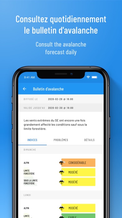
- The complete avalanche bulletin;
- Environment Canada's public weather forecast as well as the Chic-Chocs alpine weather forecast, and more;
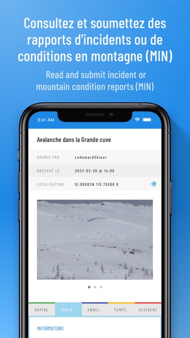
- Mountain Information Network reports on the map;
- Webcam, snow report and automated weather station data.
Terms of Use : https://www.apple.com/legal/internet-services/itunes/dev/stdeula/