
Save The Waves
Capture and share coastal threats with photos
Save The Waves Coalition
iPhone Screenshots



Description
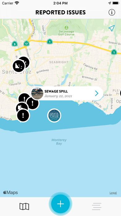
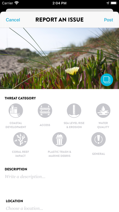
Users report coastal threats by taking photos and geotagging locations. Data is shared with environmental agencies and local managers. Users can view impact reports and track progress on coastal conservation efforts.
The Save The Waves Mobile App crowdsources data from coastal users who identify key coastal threats like illegal development, plastic pollution and poor water quality. Using smartphone technology, users snap a photo of the impacted site that is geotagged by the phone’s GPS. This data is shared with on-the-ground practitioners, coastal agencies, and protected area managers in our coalition. With our larger community, we can identify and reduce threats in surf ecosystems across the globe, empowering our local communities to be active stewards in the protection of surf ecosystems.