
iPhone Screenshots



Description
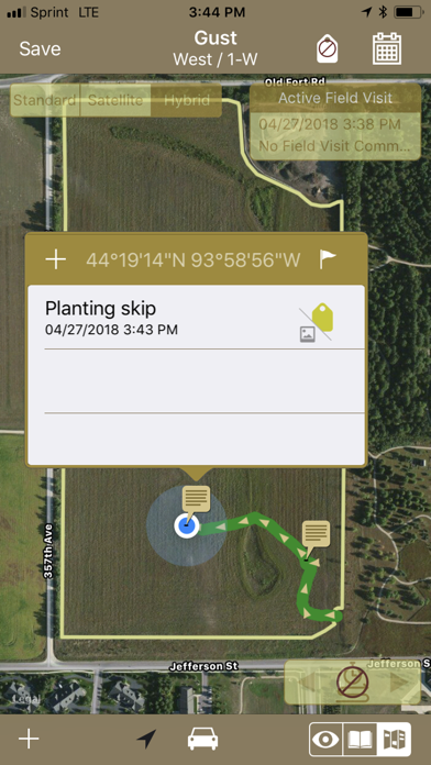
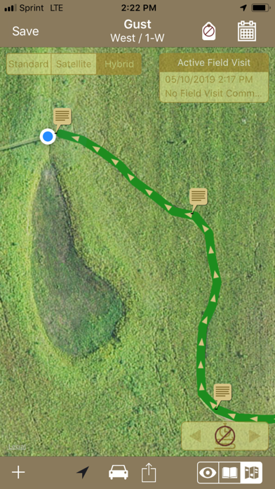
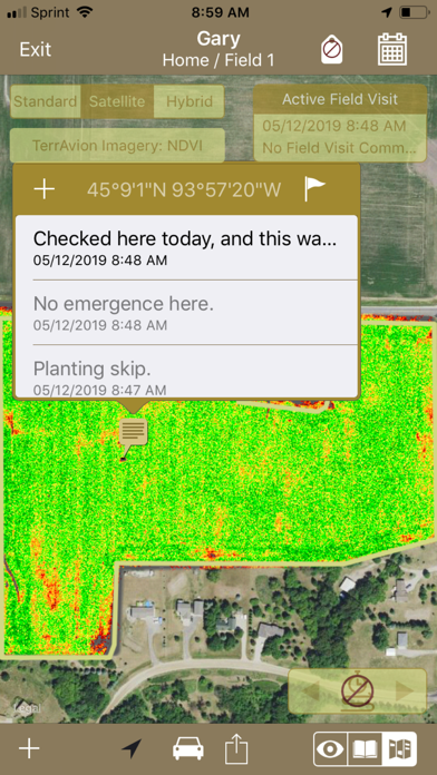
FieldX GeoNotes™ is an agricultural app used to record georeferenced comments and pictures at points of interest in a field. While using the app, your path through the field can be recorded and saved.
Below are examples of how GeoNotes can be used:
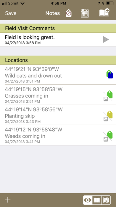
- Quickly comment on field conditions, and take photos of crop progress on each field visit.
- Record notes and photos of crop damage at a georeferenced location.
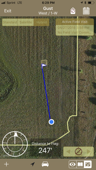
- Navigate to user-defined observation locations to re-check an issue in the field, or investigate potential problem areas.
- Review paths taken through the field to identify parts of the field that haven’t been checked.
- Mark locations of hazards and features in the field, such as rocks or drown-outs.
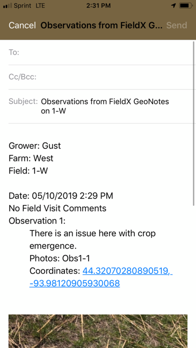
- Share collected notes and photos through the Email or Messages app.
**Please note that this app is for existing FieldX customers. If you are not a customer, start a free trial today.
FieldX GeoNotes is part of the FieldX® Platform, which is an agricultural software system used across the United States and Canada.