
iPhone Screenshots
Description
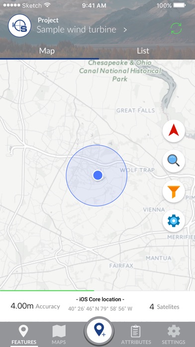
Seiler – Field2GIS is a mobile field data collection solution that makes capturing and sharing data easy. The Seiler mobile GNSS app brings sub-meter to centimeter accuracy to mobile devices, even the most demanding users can take advantage of the modern user interface.
Key features:
- High-precision GNSS support –provides true accuracy and precision reporting from Trimble GNSS receivers, you get a flexible, easy-to-use app that can adapt to your unique requirements with the level of positioning accuracy the job requires
- Advanced GIS integration – Supports GIS data quality management with accuracy settings and multiple methods for GIS data export/import via Shapefiles, CSV, WMS, JSON, and WFS
- Rapid Deployment – Designed for ease of data sharing and universal portability, with an open spatial database, zero proprietary formats and support for a growing number of industry formats and interfaces
- Syncing – Your projects and features are automatically synced across all devices for easy collaboration
- Custom Offline Maps – Create your own maps that can be accessed even without connectivity
- Custom Forms – ensure that field personnel collect exactly what information you need
- Free Online Maps – Free maps from OpenStreetMaps, Mapquest and more
*- Multiple deployment options: Use an on-premise solution server for sensitive data, or take advantage of our cloud hosting for easy setup
- Dashboard – Monitor field operations in real-time
- User Locator – View real-time progress of your workers and their tasks*
* User locator, when enabled, utilizes your GPS to report back your location. Continued use of GPS running in the background can dramatically decrease battery life.