
mWater Surveyor
Map sites and track changes offline
mWater Foundation Inc
iPad Screenshots
Description
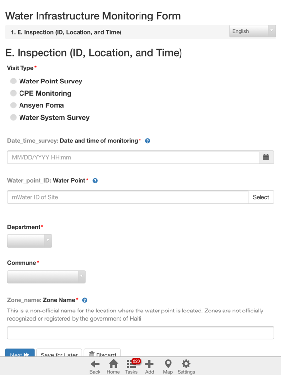
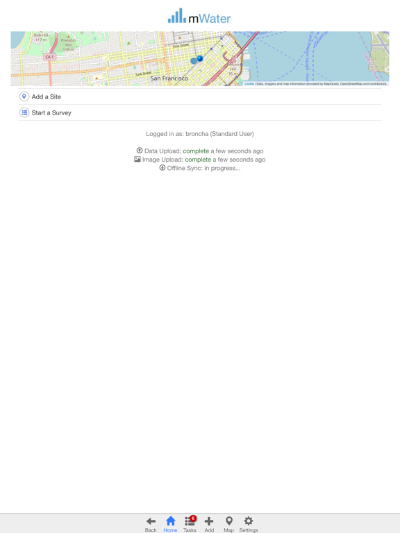
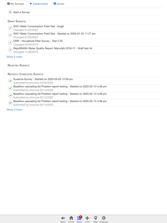
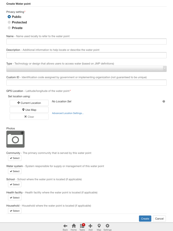
Create and manage custom surveys for mapping and monitoring sites. Collect data offline and sync when connected. View and analyze results through an online portal. Design forms and track changes over time.
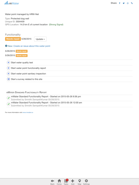
The Surveyor app is designed for mapping sites like water points, sanitation facilities, schools, health clinics, or communities and monitoring them over time with mobile surveys. The app works on and offline. You can design your own forms and manage your data at portal.mwater.co.
App information from Apple App Store. mWater Surveyor and related trademarks belong to mWater Foundation Inc.