iPhone Screenshots


Description
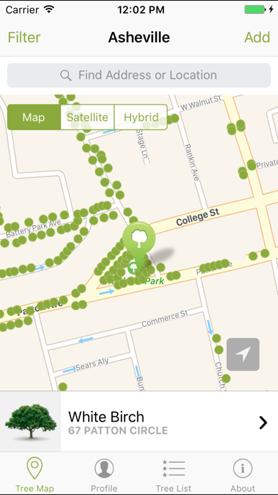
OpenTreeMap enables individuals, governments, neighborhood organizations, and other groups to collaborate in mapping and exploring the urban forest. Using the OpenTreeMap mobile app, community members can view tree maps created as part of the OpenTreeMap subscription system and then search for trees or add tree information to those maps. By working together, we can create a map of the urban forest and explore the many environmental and economic benefits provided by the trees in our communities.