

Apps Like Navigraph Charts for iPhone and iPad
Navigate, track, and fly simulated flights
Access aviation and navigation data for flight simulation. View Jeppesen and IFR coverage at airports worldwide. Download and manage for use in simulated flights. Sync with flight simulation software for real-time data.
Navigraph Charts screenshots
Ranked alternatives
Showing 141–160 of 1,000 ranked alternatives.

MetroLyrics
CBS Mobile
Find lyrics to selected songs.
The app provides access to a database of song lyrics. Users can view synchronized lyrics, watch music videos, and see music charts populated by other users.
xWind
Jan Bloemendaal
Evaluate wind conditions and display data
Displays current wind direction and speed, runway course, and cross, head, or tailwind components. It shows applied wind limits, forbidden wind angles, and a maximum wind speed table. Users can set up wind parameters for accurate flight evaluations.

TZ iBoat – Marine Navigation
Nobeltec, Inc.
Navigate with real-time GPS and tidal data
Navigate using GPS, AIS Online, and radar. View charts for coastal boating, sailing, and fishing. Track tides and currents. Set anchoring points. Sync with Apple Health. Share routes and waypoints.
Easy To Use - Microsoft Flight Simulator Edition
ANTHONY PETER WALSH
Learn Microsoft Flight Simulator with videos.
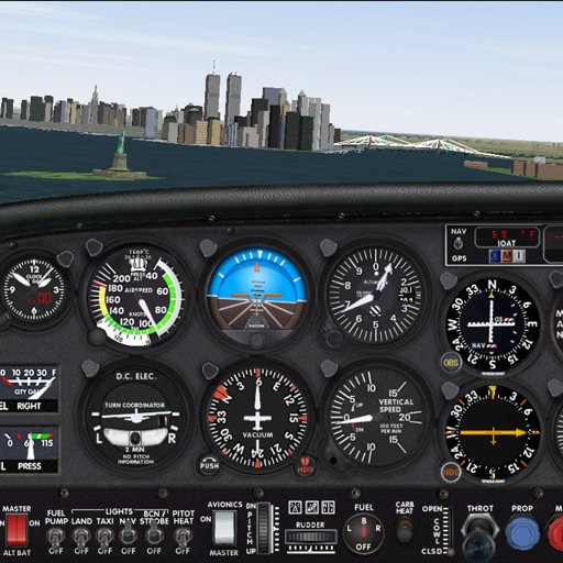
The app provides 113 video lessons for Microsoft Flight Simulator. Users can play, alter titles, add notes, and rate lessons.


Live Flight Status - Tracker
Appeclectic Ltd
Track flights and receive delay alerts
Track flights with real-time updates on departure and arrival times, terminal and gate numbers, and baggage claim carousel information. Notify users of delays and share details with friends or family.

RunwayMap - #1 Pilot Community
RedDev GmbH
View airports, track weather, and access runways
Visualize approaches and landings with 3D views of airports and their surroundings. Access aviation weather forecasts, NOTAM data, runway information, airport restaurants, and webcams. Track real-time conditions and navigate airport layouts.

AirportWX - METAR & TAF
Youri Berentsen
Track weather, decode , plan flights
Access real-time aviation weather data including decoded and TAF reports. View interactive flight rule maps. Receive smart weather alerts. Track weather conditions for over 48,000 airports. Decode and interpret aviation weather data.

Altimeter for Aviators
M Butler
Measure altitude using barometric pressure
Measure altitude using barometric pressure without GPS. Display real-time altitude readings. Track pressure changes over time. Set altitude alerts. Sync with Apple Watch for stand-alone use.

Air Flight Tracker
fikret urgan
Track flights and view real-time airport info
Track flights in real-time with detailed global air traffic radar. View paths, aircraft positions, and details instantly. Switch between airports or select specific airlines to monitor their flights.

CaptainVFR
Quality Unit s.r.o.
Plan flights, track position, navigate routes
Plan and navigate flights with interactive aviation maps featuring high-resolution worldwide coverage and offline support. Track real-time GPS positions with moving maps.

DJI Assistant
SZ DJI TECHNOLOGY CO., LTD
Adjust parameters for DJI systems.
The app allows real-time parameter adjustments for DJI A2 Flight Controller Systems and DJI Ronin and Ronin-M. It supports Bluetooth 4.0 and displays real-time flight data.


AirTraffic flight tracker
Stephane Coutant
Track flights and view aircraft movements
Track flights with real-time aircraft positioning on an interactive map. View details including airline, number, times, altitude, speed, and heading. Access AI-generated aircraft visuals for realistic representation.

PFMA E6B
Gonzalo Esteban Astica Capra
Manage flight data and calculate fuel burn
Navigation provides flight planning and in-flight calculations. Users can customize quick access buttons, configure units, and manage blocks and airtime.


Orca: Boat GPS, Charts, Routes
Orca Technologies AS
Navigate with real-time AIS data
View nautical charts online and offline. Use satellite maps for navigation. Plan for sailboats and powerboats. Access real-time AIS data. Get global marine weather with temperature, wind, tides, and currents.

VR Moon Landing Mission 360
Vipera Games sp. z o.o.
Explore space, landings, and lunar walks
Explore a virtual space station, fly to the , and walk on its surface in a 360-degree VR environment. Navigate through space scenes and experience an astronaut simulator. Compatible with most VR headsets for immersive gameplay.

How we rank alternatives
Apps are ranked by functional similarity, category fit, rating confidence, and popularity.