Plan flights with detailed weather data, airport information, and NOTAMs. Overlay georeferenced charts on aviation maps. Access IFR and VFR plates for over 200 countries. Manage and download airport plates in advance.
by Myriel Aviation SA★ 4.5544 ratingsNavigationFreeData updated 2026-09-10
Explore ski areas worldwide with 3D maps and GPS navigation. View real-time lift status and offline maps. Share location with others. Access alpine, nordic, and backcountry terrain details. Track progress and plan routes.
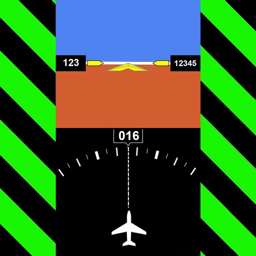
The app provides instrument training for general aviation pilots. Users can manipulate map elements and observe instrument responses in Learn mode, or determine aircraft location based on instruments in Test mode.
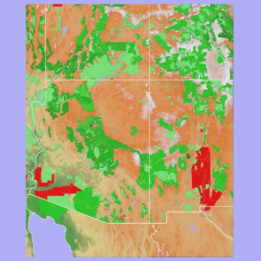
The app provides 3D topographic maps for iPad and iPhone. Vector map data is contained within the app for offline use, supporting navigation in various environments.
The app provides flight tracking for John Glenn Columbus International Airport. It offers live arrival and departure boards, flight status, and tools to find alternate flights.
The app provides subway maps and a route planner with travel time and distance. It calculates trip costs and finds nearby stations using augmented reality.
The app provides flight tracking for Oslo Airport, including live arrival and departure boards. It offers flight status updates and assistance with finding alternate flights if needed.