Display GPS coordinates in DMS, DDM, or DD formats. Show altitude in feet or meters. Track speed with a speedometer. Share coordinates. Switch between magnetic and geodetic north. Use flashlight for nighttime. Provide location data.
Track current speed, average speed, and maximum speed using GPS. Display speed camera locations. Overlay video recording speed on footage. Include HUD interface for real-time speed visibility. Sync with devices for dashcam functionality.
Displays a 24-hour analog with a sweeping second hand. It shows GPS coordinates, heading, and compass bearing based on device orientation. It uses location data in the foreground without saving or transmitting personal information.
Navigate using with real-time and landmark visuals. Access Google Maps integration for route planning. Explore 3D imagery of global locations. Walk through famous sites virtually from your device. Stay updated with enhanced map features.
Find ' system requirements and compare them with your phone specs. Check if your device can run the game. Add to a personal list. Test internet speed with a built-in speedometer. Receive notifications for new . Integrate with iOS Siri shortcuts.
Track , distance, and time during trips. Record trip data automatically. View real-time statistics and historical trip details. Share trip summaries with others. Set and monitor limits. Export trip data in various formats.
Track speed, distance, and odometer in real time. Switch between various velocity units. Measure movement in both forward and reverse directions. Sync with other apps for data tracking.
The app measures the elevation of locations within a 500-meter radius using device sensors and internet-based geo information. It calculates altitudes in real time and displays them in meter or feet.
View current location details including latitude, longitude, altitude, and address in Decimal or DMS format. Track trip data such as distance, speed, and maximum speed. Save location and trip information for later review.
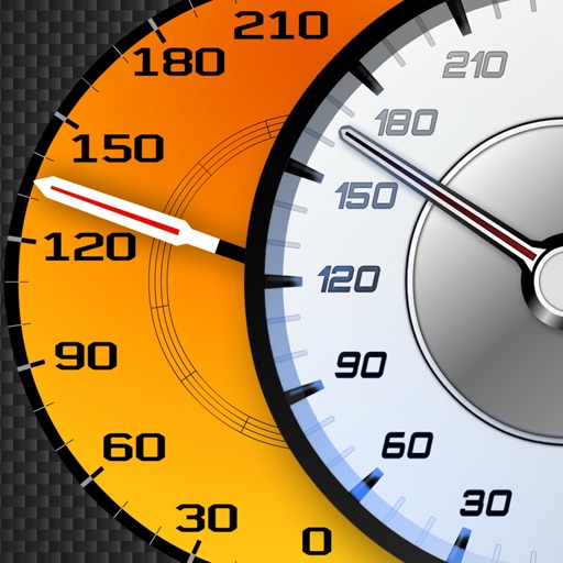
Track vehicle speed using GPS or simulation mode. View detailed speedometer displays with realistic graphics. Hear authentic engine during acceleration. Explore speed data from popular supercars.
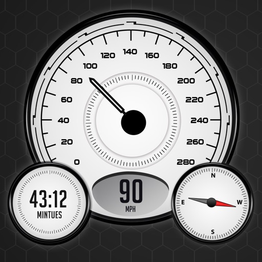
Track real-time speed and power using a digital . Monitor maximum and average speed during trips. Use a to determine direction, view altitude, and track coordinates.
Add GPS data including date, time, latitude, longitude, altitude, weather, and compass to . Share geotagged images with friends to show travel locations. Track live location and embed it into captured .
Calculate altitude using GPS, ASTER, or barometer (iPhone 6 and later). Display average altitude from GPS and ASTER data. Show peaks, compass, and distance grid on an integrated map. Support Apple Watch. Choose unit of measurement.