View and analyze satellite imagery for fishing conditions. Locate and track fish populations. Set waypoints and save maps. Share images and data with other users. Receive real-time updates on weather and currents.
by RipCharts, LLC.★ 4.8489 ratingsSportsFreeData updated 2026-09-09
Track shots and measure distances using GPS. Analyze swings and putts with built-in sensors. Access 3D maps and hole flyovers on phone. Use as a standalone on Apple Watch without needing a phone.
Find fishing spots with of rivers, lakes, and streams. View property boundaries to stay legal. Locate access points, boat ramps, and local shops. Use the River Measuring Tool to track conditions and log fishing success.
Access topographic maps globally with offline viewing and 3D terrain features. Use gradient overlays and terrain tools for detailed analysis. Track outings with waypoints and planning tools. View real-time webcams, lift status, and piste information.
The app provides worldwide weather details, including wind, precipitation, and wave data. It offers forecasts up to 16 days and can be used offline, with GRIB files downloadable via various connections.
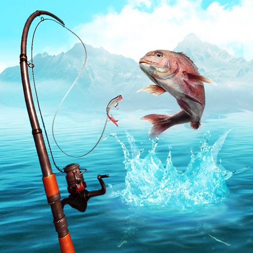
Catch fish in scenic locations by casting a line and controlling the fishing rod with a finger. Track caught fish, upgrade equipment, and explore new environments to increase success chances.
Track standings and receive real-time updates when the leader changes. Choose from multiple formats like Stroke Play, Stableford, and Best Ball. Manage leagues and societies without cost or usage limits. No ads or paywalls.
Plan hunts with detailed LiDAR maps, satellite imagery, and deer movement predictions. Access land boundaries, ownership data, and parcel change alerts. Customize LiDAR layers and overlay crop data for strategic scouting.
Plan flights with detailed route mapping, weather data, and fuel calculations. Access real-time weather briefings and interactive charts. Log flight details and manage preflight checklists. Sync with avionics for consistent navigation.
View real-time data with 250-meter resolution for the continental U.S. Access raw Nexrad Level 3 station data for detailed products. Switch between mosaic views and individual types like reflectivity, velocity, and polarization.
Distances and areas on satellite maps. Select objects like lawns, roads, and buildings. Save and share measurements. Export data in various formats. Sync with other apps for project planning.
Distances and areas on satellite maps. Select points to calculate length or size. Save measurements and share results. Compatible with various map views and zoom levels.
Plan trips by streaming maps over Wi-Fi or cellular. Search for locations like trailheads or mountain peaks. Navigate outdoors using a compatible device. View maps and plan routes without requiring constant internet connectivity.
Plan activities at sea with real-time coastal weather data. View daily and monthly tide charts, tidal coefficients, and water levels. Track swell height, wave direction, and surf tables.
Track routes, find waypoints, and navigate offline
Navigate outdoors with offline GPS maps and real-time augmented reality. Track waypoints and custom locations. Use a gyrocompass, speedometer, altimeter, and inclinometer. Find celestial bodies and measure angles.
Access HD for USA, Canada, UK/Ireland, Germany, Netherlands, and European rivers. View NOAA vector , freshwater maps, and USACE inland river maps with bathymetry. Create or import GPX/KML routes. Use voice prompts for navigation.