Navigation displays real-time telemetry data including location, heading, altitude, speed, distance, and elapsed time. Users can customize display modes, units, and configurations by tapping or long-pressing values.
Determine current position using the Swiss Coordinate System . Display Swiss Ref, WGS84 Latitude, and Longitude. Show device-reported accuracy. Share coordinates via text, email, or clipboard.
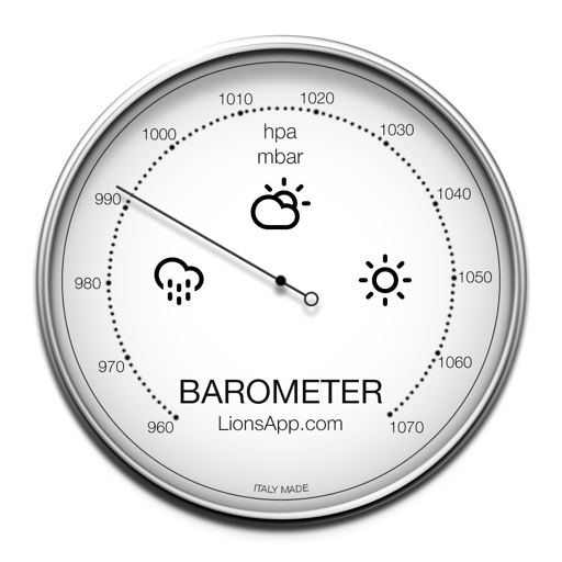
The app displays atmospheric pressure and climatic conditions based on the user's location. It supports multiple units for pressure measurement and tracks the last reading with intuitive graphics.
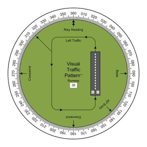
Allows pilots to view runway patterns with finger rotation. Display includes left and right patterns, crosswind, downwind, base, and 45-degree entry headings. Magnetic runway orientation matches aircraft heading for approach visualization.
Track prayer times based on location with accurate calculations. Display today's and next prayer times. Use a compass to find the direction. Convert Gregorian dates to Hijri calendar. Requires GPS for location data.
The app provides tools for geocaching tasks such as waypoint projection and calculation. It can also convert between number systems and perform various encryption and decryption methods.
The app provides offline topographic map coverage of New Zealand's South Island. It includes satellite images, elevation data, and integrated data for various outdoor activities.
Track and mark wildlife such as big , fish, predators, small , and birds with a long press. Sort markers by time periods and save images for reference. Draw boundaries to identify property lines and store landowner information.