Create GPS traces with waypoints and save them as GPX files. Use offline maps for navigation without time limits or ads. Share track data and contribute to Street Map. Keep routes private and edit existing traces.
by Juan Manuel Merlos★ 4.3131 ratingsNavigationFreeData updated 2026-09-09
Navigate using real-time GPS and map data. Mark and save locations. Track movement and speed. Share coordinates with others. Use offline maps for areas with limited connectivity. Set waypoints and receive turn-by-turn directions.
Add using current location or search. Create routes with step-by-step navigation. Save notes and photos for each location. Share locations with others. Track visited and plan future trips. Sync across devices.
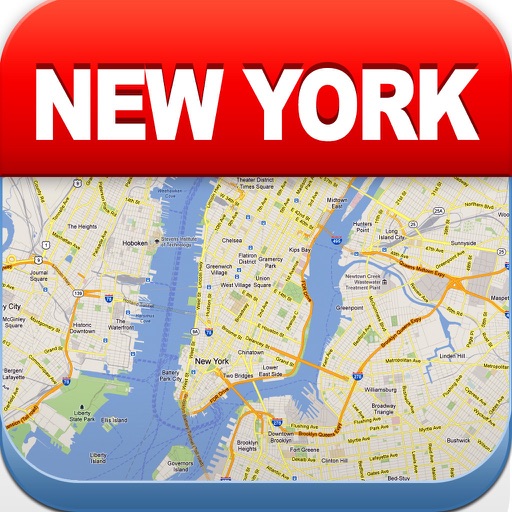
View maps of New City, including subway and airport routes. Navigate using real-time GPS without internet. Bookmark addresses for trip planning. Access top attractions and explore without data usage.
The app allows users to view offline vector maps and record GPS tracks. It supports different map styles, track editing, route planning, and online maps.
Record GPS tracks to monitor progress and navigate back. Download offline maps for street, topographic, and satellite views. Save and share route data. Measure distances and elevations. Use compass and waypoints for accurate .
The app provides marine navigation with access to charts, tides, and ActiveCaptain information. It allows users to plan trips at home or navigate on a boat with a GPS device.
Plan using offline and save them to My Map. Pin points of interest with descriptions and photos. Navigate existing or to any location. Record trips and display elevation graphs. Export as .gpx files. Integrate with Garmin. Buy professional .
Create a realistic flight simulation cockpit with a Boeing-style Flight Management System, Primary Flight Display, and Navigation Display. Connect to flight simulators via local network. Configure displays for different simulators.
Plan cycling routes by drawing on an interactive map and using automatic bike-friendly routing for road, gravel, and mountain biking. Add waypoints and points of interest. Export routes to GPX for your bike computer.
Navigation allows users to create and edit flight plans on a map, sync flight data with .com, and access NavLogs for offline use. It includes Weight & Balance profiles, eLogbook entries, and Checklists.
Navigate with route suggestions and public transport
Navigate streets and public transport routes in Cochabamba with full door-to-door guidance. Choose between buses, micros, or trufis. Get multiple route options and search for streets, crossings, or points of interest.
Track trips with distance, time, and average speed calculations. Forecast arrival times using waypoints. Monitor GPS and OBD sensor data in real time. View detailed vehicle performance metrics. Sync with external GPS devices for enhanced navigation.