
Coordinates Lite
Hunt Mountain Software
Convert between formats
Convert between decimal degrees, degrees and decimal minutes, and degrees-minutes-seconds. Display all three formats simultaneously. Enter in any format for instant conversion.

Track routes, add waypoints, save maps
Create GPS traces with waypoints and save them as GPX files. Use offline maps for navigation without time limits or ads. Share track data and contribute to Street Map. Keep routes private and edit existing traces.
Showing 281–300 of 1,000 ranked alternatives.
Hunt Mountain Software
Convert between formats
Convert between decimal degrees, degrees and decimal minutes, and degrees-minutes-seconds. Display all three formats simultaneously. Enter in any format for instant conversion.

WA Verhoef
Geocaching toolkit for field calculations.
The app provides tools for geocaching, including waypoint calculations like coordinate conversions and projections. It also offers text calculations based on character values and hint decryption.

Aviation.Direct (Pty) Ltd
Aviation navigation for Southern Africa.
The app provides aviation navigation for Southern Africa with a GPS moving map and detailed airfields database. It includes airspace information, flight planning, and an E6B calculator for enhanced situational awareness.


Piotr Janik
Sync routes, navigate , track progress
Plan routes on iPhone, sync them to Apple Watch. Navigate without phone or network. View maps and track progress. Set waypoints and receive turn-by-turn directions. Adjust settings for different activities like hiking, running, or cycling.

Tahito Aoki
View and edit GPS tracks easily.
The app displays GPS tracks on a map and allows users to edit logs by moving, adding, or deleting points. Users can also geotag photos with coordinates and export edited tracks in GPX, KML, or KMZ formats.


John Johnson
Track routes, control feeding, stay focused
Set feeding distances and durations for the feeder. Activate feeding via Bluetooth connection. Monitor feeder status and receive notifications when feeding starts or stops. Adjust settings remotely through the .

Janne Kaki
Zoom in, see more, navigate better
Navigation allows users to view detailed maps with higher resolution and more street names. Display four times more map content on the screen. Includes sharper satellite imagery and points of interest. Adjust map scale for comfort.

Logic Design
Navigate, track, and plan flights
Navigate using real-time maps and flight tracking. View weather data and airspace restrictions. Log flight details and share them with pilots. Set waypoints and monitor altitude. Sync with GPS devices and receive turn-by-turn guidance.


Matthew Mayer
Plan routes, track transit, view maps
Provides detailed subway maps for with BTS and MRT lines. Includes route planning, GPS navigation, and street maps in English and Thai. Works offline. Displays all stations and future expansions.


Jarle Mjaasund
Track routes, share locations, send messages
Track location in real-time with GPS. Record routes and share positions with others. Take photos and send messages during activities. View duration, distance, speed, and altitude data. Allow loved ones to monitor your location for safety.

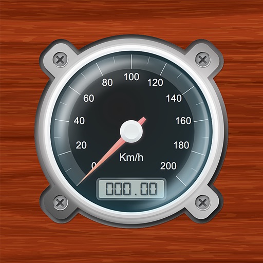
3B Soft srls
Speedometer and GPS trip computer.
The app tracks trips and exports data in gpx and kmz formats. It synchronizes local tracking data with a configurable OpenGTS server for fleet tracking.


Makoto Katsumata
Navigation and street view app
The app provides auto navigation for the current location and allows users to create routes on Google Maps. It includes the latest street view, traffic data, and four map types.
Apps are ranked by functional similarity, category fit, rating confidence, and popularity.