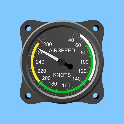
Displays altitude and vertical speed using filtered GPS data and a Kalman Filter for smooth readings. Tracks changes in altitude to calculate vertical speed in knots. Provides pilots with clear, responsive variometer data for flight monitoring.
Track skiing performance with speed, altitude, slope, and distance data. Create and organize trips to store runs and view trip statistics. Access photos taken during the session. Customize screen layouts to focus on relevant data.
Measure , position, and coordinate information in real time. Customize display settings for , speed, and coordinates. Use the coordinate picker to retrieve location data from any map point.
Calculates air density, relative humidity, and air pressure automatically. Displays geographic position, temperature, dewpoint, elevation, and barometric pressure. Supports airport and manual input modes.
Monitor status with real-time CPU, memory, and storage usage. Check location services and manage permissions. View battery health and sensor data. Control access to hardware parameters and sensor inputs.
Coordinates can be viewed and shared via decimal degrees, degrees-minute-seconds, degrees-minute-decimal, UTM, and military grid systems. Users can tap a map to retrieve coordinates and directions.
The app calculates the distance between lightning and the user's location. It measures the distance in meters and feet based on user input when lightning is seen or thunder is heard.