Apps Like Фотоконтроль. Антирадар камер. for iPhone and iPad
Track speed and alert for speed cameras
Alerts users when approaching fixed photo enforcement cameras in Belarus. Displays speed using GPS. Operates in background and with other navigation apps. Works with screen off to save battery. Provides constantly updated camera information.
by Siarhei Zakharanka★ 0.00 ratingsNavigationFreeData updated 2026-09-09
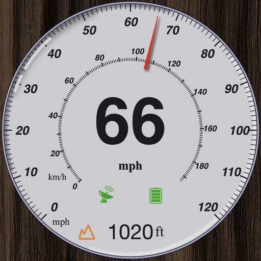
GPS measures and displays speed for walking, jogging, cycling, cars, boats, trains, and airplanes. Users can select display units and choose between two scales. Trip recording and average speed tracking are available.
Track speed in using units like meters per second, miles per hour, and kilometers per hour. Display speed in English or Spanish. Allow users to request additional language support.
Navigate public transport schedules in Belarus cities
View real-time bus schedules and routes for 35 Belarusian cities. Search for stops and departure times. Receive notifications about delays or changes. Plan trips using integrated maps and route guidance.
Measure internet speed with download and upload tests. Check ping, jitter, and packet loss. Provide detailed network performance data. Compare results across fixed, cellular, and WiFi connections. Display measurements in clear, easy-to-read formats.
Provides turn-by-turn GPS navigation with lane guidance and spoken instructions. Detects speed cameras in real time. Tracks route distance, time, speed, and speed cameras encountered. Displays real-time traffic updates and gas price information.
Tracks location, speed, altitude, heading, acceleration, g-force, and atmospheric pressure. Retrieves and displays current weather data. Records tracks up to 10 minutes or 10 kilometers. Plays back tracks at multiple speeds.
Cameras and listening devices by scanning for connected devices via Wi-Fi. Identify concealed electronics and pinhole cameras. View detailed device information. Access a safety guide to prevent candid photography.
Displays current course, speed, altitude, coordinates, orientation, and weather using GPS and compass. It includes advanced bookmarking, Street View, and live Flyover mapping features.
Order taxi by entering an address and pressing a button. Pay with a card by adding it to the . View trips and pay for them using a linked card. Create a family account to track all trips.
Rent electric scooters by selecting pickup and drop-off locations. View real-time availability and pricing. Complete registration with personal details and payment method. Reserve and unlock vehicles via smartphone.
Track vehicle speed with a digital speedometer showing current, average, maximum speed, and total distance. Use offline mode for uninterrupted performance. Access two HUD modes for windshield display. Choose from 10 themes for customization.
View real-time vehicle locations on a map. Check schedules and arrival predictions for stops. Plan routes with transfers. Use multi-filter to track multiple routes. Access accessibility mode and low-floor information.