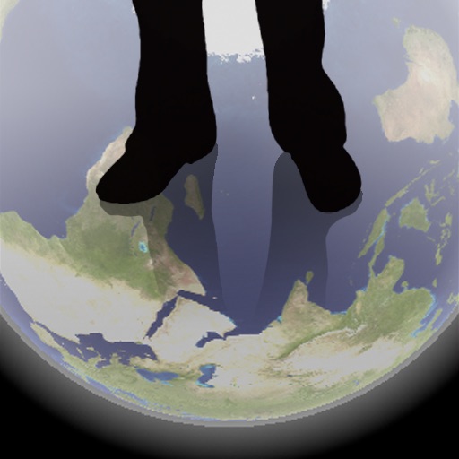
The app shows a transparent view of the earth, allowing users to see the other side of the world beneath their feet. It displays the positions of major cities on a reversed blue marble through a camera overlay view.
Plan and navigate boating trips by creating routes on Mac and exporting them to iPhone. View high-resolution vector charts with detailed features like buoys and lights. Zoom and pan across charts for precise navigation.
Enable location sharing between devices using GPS data without cellular connectivity. Access high-level location information on iPad via tethering from iPhone. Record and track location data with built-in logging features.