
Distance Measure Pro
Robin Betjes
Measure distances and areas on maps.
The app measures distances between map waypoints and surface areas of polygons. Users can select measurement units including kilometers, miles, and nautical miles.

Showing 81–100 of 1,000 ranked alternatives.
Robin Betjes
Measure distances and areas on maps.
The app measures distances between map waypoints and surface areas of polygons. Users can select measurement units including kilometers, miles, and nautical miles.

Educational apps LLC
Calculate trajectories and compare cartridges
Calculate ballistic trajectories with detailed data including 4000 cartridges and 3300 reticles. Visualize trajectories, compare different cartridges, and adjust for barometric pressure, altitude, temperature, and wind.

TECHISTIC LTD
Track , distance, and performance
Track , distance, and performance with real-time GPS data. Display in mph and km. Log trips and view historical records. Set alerts and monitor journey details. Sync data across devices for ongoing performance analysis.

CHENGDU MIAOZHI TECHNOLOGY CO., LTD.
Measure distances and areas on maps
Measure distances, land areas, and perimeters using satellite maps. Calculate perimeters and track outdoor projects. Measure routes for biking, golfing, or racing. Save and share measurement data.
SHIGETO TAKAGI
Track speed and distance with GPS
Displays speed in and distance traveled using GPS. Tracks maximum speed with vibration alerts. Shows position and time of maximum speed on a map. Switches between light and dark modes. Notifies of GPS measurement errors.

Zernike LLC
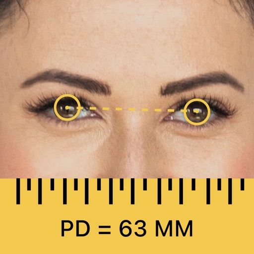
Capture PD with a single facial photo
PD+ captures and processes a high-resolution facial photo to measure . It provides far and near PD measurements for both binocular and monocular use. It also measures fitting heights for current frames to ensure accurate lens prescriptions.
Gianluca Natalini
Calculate lightning distance from storm.
The app calculates the distance between lightning and the user's location. It measures the distance in meters and feet based on user input when lightning is seen or thunder is heard.

Daniel Medeiros
Track location, speed, and weather
Tracks location, speed, altitude, heading, acceleration, g-force, and atmospheric pressure. Retrieves and displays current weather data. Records tracks up to 10 minutes or 10 kilometers. Plays back tracks at multiple speeds.

Ismail Alhmoud
Track and direction
Display for Fajr, Shorouq, Dhuhr, 'Asr, Maghrib, and I'sha using GPS. Show direction compass and time remaining for next . Include Islamic calendar and notifications for . Support Arabic and English based on device settings.
Juan Pablo Fernandez
Look up Gag, Fish, and Cog stats
Access real-time invasion updates and track active invasions. View detailed guides for gags, cogs, and fishing. Calculate gag effectiveness. Find toontask details and gardening tips. Retrieve stats for all game elements.

Jeonghwan Kim
Search and share location easily.
The app displays current location information automatically. Users can view coordinates, altitude, and addresses for current or specified locations, with options to change map formats and save locations.

Anton Paar ConsumerTec GmbH
Extract content instantly
Track fermentation progress by importing density or refractometer measurements. Store data in customizable batches. Visualize trends over time. Export results for record-keeping. Sync measurements from EasyDens or SmartRef devices.

ALVICOMP OU
Navigate with and
Navigation provides functionality for directional guidance. Displays current direction and . Tracks movement and offers map integration for route planning. Allows users to set waypoints and navigate between locations.

Alpina Watch International SA
Sync and save watch data
Sync data from MMT SwissConnect watches to track activity and sleep metrics daily, weekly, or monthly. View detailed insights and set personalized goals. Calibrate watch settings and access the Dynamic Coach for guidance.


OCUTECH, LLC
PD and order custom glasses
For custom eyewear and reduced eye strain. Select from , reading, or computer PD modes. Use phone camera to capture accurate measurements. Save and share PD results for optimal lens fitting and VR experience enhancement.
Michele Gruppioni
Distance
Distances using Augmented Reality. Tap to place markers and calculate lengths. Undo measurements. Choose different colors for markers. Take screenshots. Switch between metric and imperial units.

Apps are ranked by functional similarity, category fit, rating confidence, and popularity.