PhotoMeta
Chris Cornelis
View and print photo metadata.
The app displays basic and detailed photo metadata for various file types including JPEG, RAW, and HEIF. It offers filtering by metadata tags, histograms, and a map for geotagged photos.

Showing 501–520 of 1,000 ranked alternatives.
Chris Cornelis
View and print photo metadata.
The app displays basic and detailed photo metadata for various file types including JPEG, RAW, and HEIF. It offers filtering by metadata tags, histograms, and a map for geotagged photos.


元荃 李
View and modify geographic information system.
The app allows users to view GIS files, modify attribute tables, and add/edit points, lines, or polygons. It supports various import and export formats including shapefiles and DEM files.







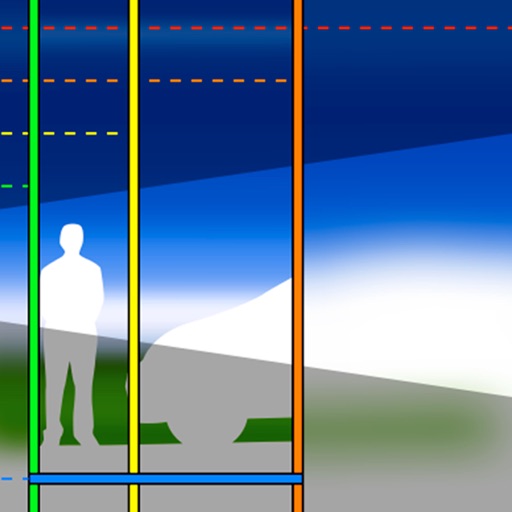
Jeff Menter
Explore depth of field with simulation.
The app graphically illustrates depth of field and field of view for SLR cameras and lenses. Users can explore aperture, focal length, and focal distance in real time to understand how depth of field works.


鑫 沈
Create scaled architectural or mechanical drawings.
The app produces scaled architectural or mechanical drawings, or images for word processors. Users can edit, scale, move, rotate, mirror, trim, and copy individual objects.




Apps are ranked by functional similarity, category fit, rating confidence, and popularity.