
Apps Like South Downs Maps Offline for iPhone and iPad
South Downs Maps Offline screenshots
Ranked alternatives
Showing 141–160 of 1,000 ranked alternatives.
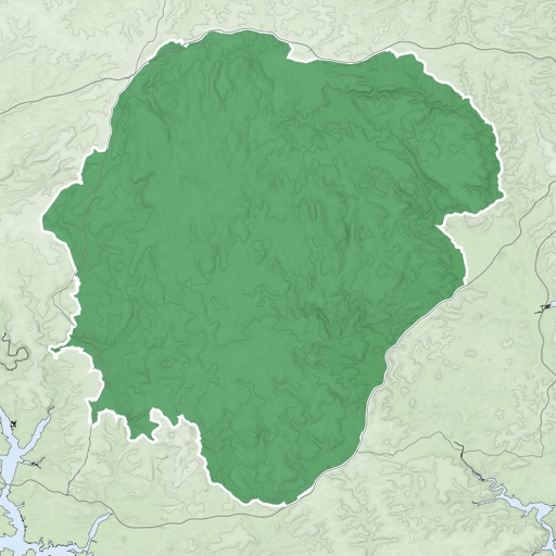

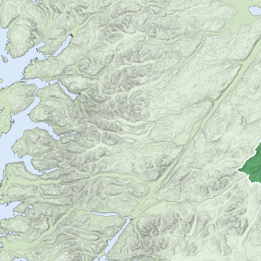

4WD Maps - Offline Topo Maps
Hema Maps Pty Ltd
Detailed maps guide off-road travel.
The app provides offline mapping and GPS tracking on detailed Hema maps. Users can see their location on maps featuring roads, 4WD tracks, and topographic information to guide travel.

511 South Carolina Traffic
Iteris, Inc.
South Carolina traffic and traveler information.
The app provides real-time traffic and traveler information for South Carolina. Maps show current traffic conditions, incidents, and construction events on major routes, with roadside camera views available.

No Roads
i3 Product Development, Inc.
Map trails, record tracks, explore offline
Navigate off-road trails by dropping waypoints and recording tracks. Explore curated trails and points of interest. Receive real-time hazard alerts and trail conditions. Download maps for offline use. Access detailed weather and elevation data.

BRMB Maps by Backroad Maps
Mussio Ventures Ltd.
Navigate with detailed topographic
Navigate using detailed topographic and over 900,000 searchable points of interest across Canada. Plan routes, view terrain features, and access trail information. Mark locations, save waypoints, and track progress. Share and coordinates with others.


Glacier-National-Park
SentientIT Software Solution Private Limited
Plan trips with park maps and lodging
Plan visits with detailed National Park maps and information on attractions, lodging, and camping options. Set itineraries for multiple days or weeks. Find nearby hotels and camping sites.

GPS Locate
David Southgate
And view coordinates in real time
Displays current location and altitude. View coordinates in UTM, DMS, MGRS, and others. Access location within the , Apple Watch , or as a complication.


Commuter
Anteneh Sahledengel
Plan trips, find stops, track real-time locations
Plan public transport journeys by searching for routes or stops. View real-time locations of trams, metros, and trains in the capital region. Find stops via map or list. Check departures or full timetables.




Utah Co Maps
Utah County Government
Search Utah County property records easily.
The app allows users to search Utah County property records by address, name, or parcel. Users can also pan and zoom a topographic map to find property details like ownership history and values.

AIS Maps: Marine & Lake charts
Flytomap
View maps, navigate routes, track location
View detailed and with vector-based maps that remain clear at any zoom level. Pan, tilt, and rotate for an immersive experience. Purchase additional features within the for expanded functionality.
How we rank alternatives
Apps are ranked by functional similarity, category fit, rating confidence, and popularity.