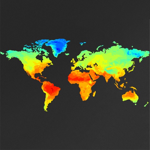
View global weather data with interactive map panning and zooming. Switch between weather layers for current and forecasted conditions. Track detailed weather changes up to 0.25 degrees on land or sea.
Calculate bullet trajectories using a Modified Point Mass Solution with 4 Degrees Of Freedom. Input ballistic coefficients or drag coefficients from Doppler radar analysis. Adjust for wind, elevation, and distance.
Check first light, , , and last light times for any location using a map. View current temperature, wind speed, and wind direction. Access future dates to see light times up to a month ahead.
View hourly and multi-day forecasts. Access animated radar for real-time precipitation. Change wallpapers based on current conditions featuring animals like lions, tigers, and dolphins. Subscribe for additional themes from related apps.
Check forecasts for up to 14 with daily and hourly updates. View 2-hourly forecasts for extended planning. Use geolocation to instantly see current . Search for any location worldwide to get detailed forecasts.
View global weather data from GRIB files including wind, precipitation, pressure, temperature, waves, and more. Overlay weather information on custom map locations. Watch animated weather maps. Analyze trends and save data for later reference.
The app provides local weather information for the United States and its territories. It includes a radar view, hourly forecasts, and a 7-day outlook with detailed weather charts.
Calculate using device sensors without internet or location data. Track average and gusts in the background. Includes a Watch with display on the watch face.
Calculate distance, time, and fuel consumption using parameters like Mach number, TAS, ISA deviation, and wind components. Create and manage aircraft profiles with customizable fuel usage based on distance flown.
The app calculates obstacle limitations during take-off and provides performance data for actual and maximum weight. It offers multiple flight level compilations for optimal cruise and includes an airfield database with relevant information.
Access real-time data and control virtual . Tune global aviation radios or create custom radio aids. Practice navigation techniques and use as a training tool or supplementary instrument during flights.
Display current speed using GPS and show speed limits via online checks. Alert when exceeding speed limits. Track weather, temperature, odometer, altitude, and average/max speed.
Provides flight data management with downloadable weather briefings and dual data cycle support. It includes a glide ring for descent planning and a collapsible navlog for airway and procedure tracking.