
My Altitude
Dayana Networks Ltd
Location, altitude, and pressure data.
The app displays current latitude, longitude, and altitude using GPS. It also shows barometric pressure, water boiling point, and weather information.

Showing 61–80 of 1,000 ranked alternatives.
Dayana Networks Ltd
Location, altitude, and pressure data.
The app displays current latitude, longitude, and altitude using GPS. It also shows barometric pressure, water boiling point, and weather information.

Bhavinkumar Satashiya
Calculate flight parameters and track navigation
Calculate , headwind, and tailwind components for safe landings and takeoffs. Determine descent rates and distances for accurate navigation. Convert units between imperial and metric systems. Perform fuel burn and time en route calculations.


Diego Rodrigues
Calculate data with precision
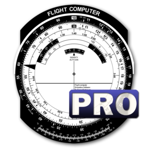
A utility simulates an E6B slide ruler for aircraft pilots. Perform conversions, wind corrections for low and high speed. Rotate, slide, and pinch zoom for precise control. Includes three calculation modes.

Phan Nhat Đang
Calculate with accurate results
Calculate by entering speed and air temperature. Support units for air temperature including °C, °F, and Kelvin, and speed in mph, km/h, m/s, and knots. Include a temperature converter for unit conversion.

Maple Media Apps, LLC
Track wind and weather conditions easily.
The app provides wind speed and direction, sunrise/sunset times, and temperature. Users can view hourly and daily forecasts, select units for wind speed and temperature, and choose compass declination.

Rob Barltrop
Calculate wind and heading values on
Calculate wind values including head/tail and using TAS input and device location. Manually enter headings if compass data is unreliable. Display reciprocal headings and tracks. Use location data temporarily for wind calculations without storage.

AYLIN BICEN
Decode flight data and plan routes
Decode aviation codes, calculate fuel and flight times, convert units, and plan routes. Access flight planning , weather data, and regulatory checklists. Sync with flight instruments and view real-time aircraft performance metrics.

ID Mobile SA
Real-time weather forecasts for Japan.
The app provides weather forecasts for Japan, updated in real time. It includes details on sunshine, precipitation, temperature, wind, and snowfall limits for 10 days.

Applicate Ltd
Save notes and track airport data
Access airport information including NOTAM, SNOWTAM, METAR, and TAF reports. Search by city, name, or identifier. Save personal notes for frequently visited . View data on iPad and iPhone. Includes a database of over 27,000 .

WillyWeather (AU) Pty Ltd
Track weather, radar, and forecasts
View current and forecasted weather with six-day data. Check radar and satellite imagery. Track wind, rain, tide, swell, and UV levels. See moon phases and sunrise/sunset times. Locate specific areas for detailed forecasts.

RedDev GmbH
View airports, track weather, and access runways
Visualize approaches and landings with 3D views of airports and their surroundings. Access aviation weather forecasts, NOTAM data, runway information, airport restaurants, and webcams. Track real-time conditions and navigate airport layouts.

ID Mobile SA
Live weather forecasts for USA.
The app provides live weather forecasts for the USA, updated frequently by experts. It includes rainfall radar, forecast reliability, sunshine probability, perceived and average temperatures, and wind details.

Tightrope Interactive
Track storms, lightning, and severe alerts
Track storms, hurricanes, and lightning strikes with real-time . Receive severe alerts and hourly forecasts with precipitation details. View wind speed and gusts for up to 24 hours. Plan activities based on accurate insights.


Bazimo GmbH
Track , set alerts, customize forecasts
View 7-day forecasts with today’s max and min temperatures. Check 'feels like' temperature and wind details including speed in multiple units. Track humidity levels and precipitation probability. Customize layout and preferred parameters.

NextStack LLC
Track weather for airports and heliports
View real-time METAR and TAF data for airports, sea plane bases, and heliports. Search by name, ICAO, or IATA code. Display nearest, all, or favorite locations on an interactive map. Add or remove favorites. Track weather conditions and forecasts.

Chirag Gabani
Capture with GPS, date, time, and location
Add GPS data including date, time, latitude, longitude, altitude, weather, and compass to . Share geotagged images with friends to show travel locations. Track live location and embed it into captured .

雪平 王
Analyze with temperature, humidity, and pressure
Track current with temperature, humidity, and air pressure readings. Calculate dew point, wet bulb temperature, air density, vapor pressure, and enthalpy. Adjust indoor climate using comfort index calculations.
Apps are ranked by functional similarity, category fit, rating confidence, and popularity.