The app calculates crosswind and headwind components, with options for dead reckoning and density altitude. It also includes a flight timer to track engine start, stop, takeoff, landing, and air times, providing a flight log.
by Digilog Corporation★ 0.00 ratingsNavigation$4.99Data updated 2026-11-20
Access structural engineering tools including beam and truss calculators, frame analysis, and section databases. Generate wind and snow loads. View and manage models with 3D rendering. Convert units and design base plates and retaining walls.
A Scheme interpreter allows users to write and execute code. The console supports read-eval-print loops for interactive coding. The text editor includes syntax highlighting, smart indentation, and parenthesis matching.
Calculate prayer times during flights using waypoint coordinates and altitude. Determine prayer times en route with ground speed and track data. Sync with flight plans for accurate timing.
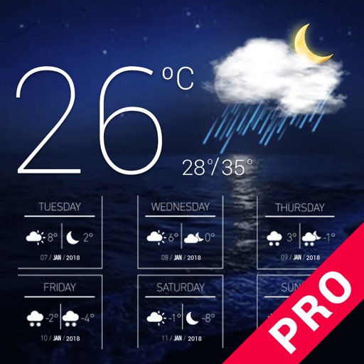
Check current and forecasted for any city or country. View temperature, precipitation, humidity, and wind direction. Update in real time. Track daily, tomorrow, and 5-day forecasts.
The app computes rolling block/flight time requirements for single or dual piloted operators. It also assists with departure gradients, climb performance, approach planning, landing performance summaries, and aviation conversions.
Display daily time, date, calendar, weather, steps, and more in a customizable widget. Choose from various designs and color schemes. Create custom with full control over functionality and appearance.
Manage flight data with in-flight metrics like relative wind, hover ceilings, density altitude, power limits, Vne, and more. Calculate weight and balance for multiple helicopter models.
Check current conditions and forecasts for your region with real-time updates from meteorologists. Access flash forecasts three times daily, including weekend, traffic, and seasonal predictions.
Monitor speed and distance with real-time GPS tracking. Switch between car and bike cyclometer. View average and max speed. Adjust units to mph or km/h. Check GPS accuracy and distance precision. Track time elapsed and altitude.
Displays wind rose and location details including name, latitude, longitude, and altitude in meters or feet. Saves position data for any global location. Requires location services to detect geographical position.
Photos with GPS data including , time, weather, and compass. Share geotagged photos with contacts. Add map markers, latitude, longitude, and altitude to images. Stamp photos with date and time. Sync data with captured photos.
Access flight checklists to manage pre-flight, in-flight, and post-flight procedures. Capture and record flight moments using the built-in camera. Sync photos and videos to the cloud for storage.